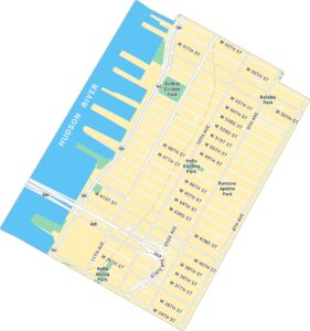
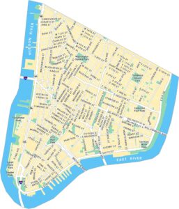
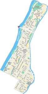
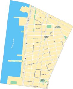
Upper East Side Map, New York
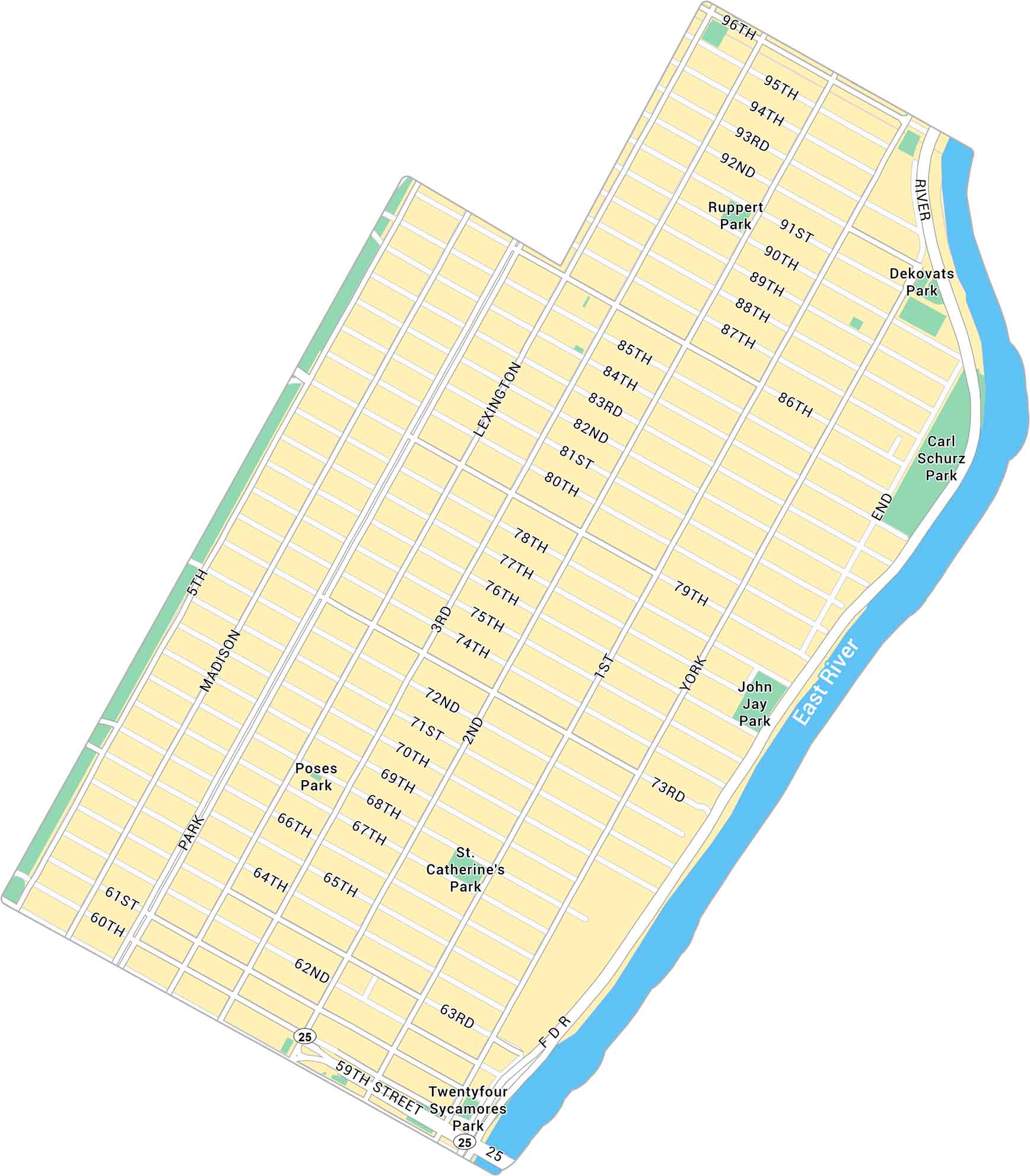
Upper East Side is classic Manhattan elegance. Our map highlights Fifth Avenue, Central Park’s eastern edge, and the quiet residential streets. The neighborhood is refined, historic, and full of character.
Map Information
On the Map
Interstates/Highways: FDR Dr, State Rte 25 Major Roads: 5th Ave, Madison Ave, Park Ave, Lexington Ave, 3rd Ave, 2nd Ave, 1st Ave, York Ave, 96th St, 86th St, 79th St, 72nd St, 59th St, East End Ave, 92nd St, 84th St, 75th St, 63rd St Major Rivers: East River Parks: Carl Schurz Park, John Jay Park, St. Catherine’s Park, Ruppert Park, Twentyfour Sycamores Park, Dekovats Park, Poses ParkManhattan Neighborhood Maps
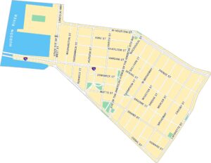
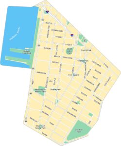
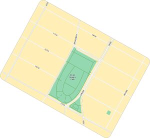
See our neighborhood maps for a closer look of the city.
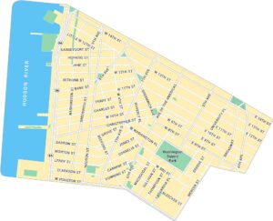
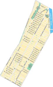
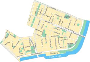
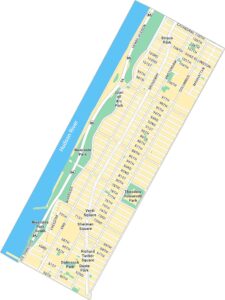
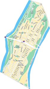
City Maps of New York
Here are the city maps that define New York


