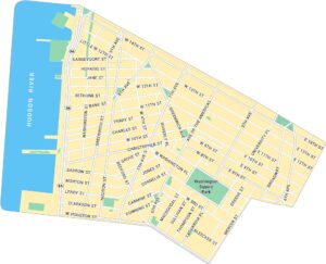
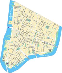
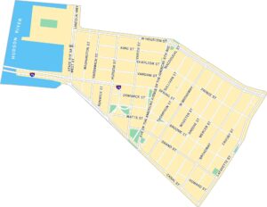
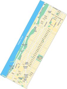
Upper Manhattan Map, New York
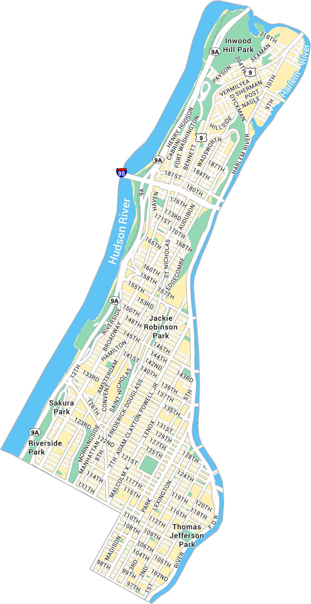
Upper Manhattan rises above with its history and green spaces. Our map shows the northern section of Manhattan, sandwiched between the Hudson and Harlem River. The neighborhood is full of stories at every corner.
Map Information
On the Map
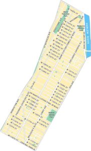
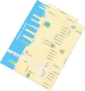
Interstates/Highways: I-95, Henry Hudson Pkwy, FDR Dr, US Hwy 9 Major Roads: Broadway, Amsterdam Ave, St Nicholas Ave, Adam Clayton Powell Jr Blvd, Frederick Douglass Blvd, Malcolm X Blvd, Lexington Ave, Madison Ave, Park Ave, Dyckman St, 125th St, 155th St, 181st St, Riverside Dr, Fort Washington Ave, Nagle Ave, Edgecombe Ave Major Rivers: Hudson River, Harlem River Parks: Inwood Hill Park, Jackie Robinson Park, Thomas Jefferson Park, Riverside Park, Sakura ParkManhattan Neighborhood Maps
See our neighborhood maps for a closer look of the city.
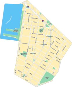
City Maps of New York
Here are the city maps that define New York


