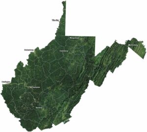
West Virginia Population Map

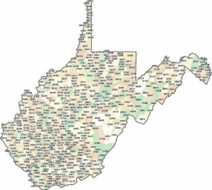
Population is spread thin across the rugged terrain of West Virginia. Small communities sit in valleys and along rivers. Our map shows limited dense areas and how mountains dominate land use.
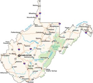
Map Information
On the Map
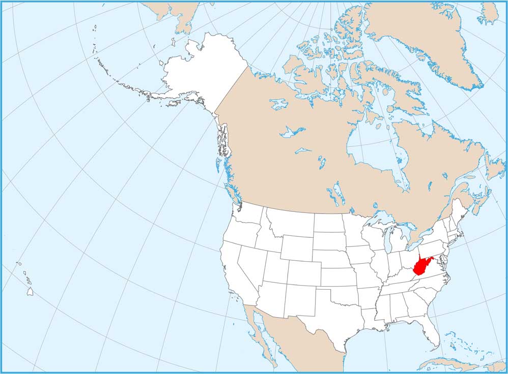
West Virginia State Maps
Browse our maps of the state of West Virginia.


State Population Maps
Select any state map below to view its population density map.


