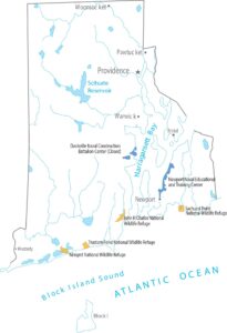
Rhode Island Population Map
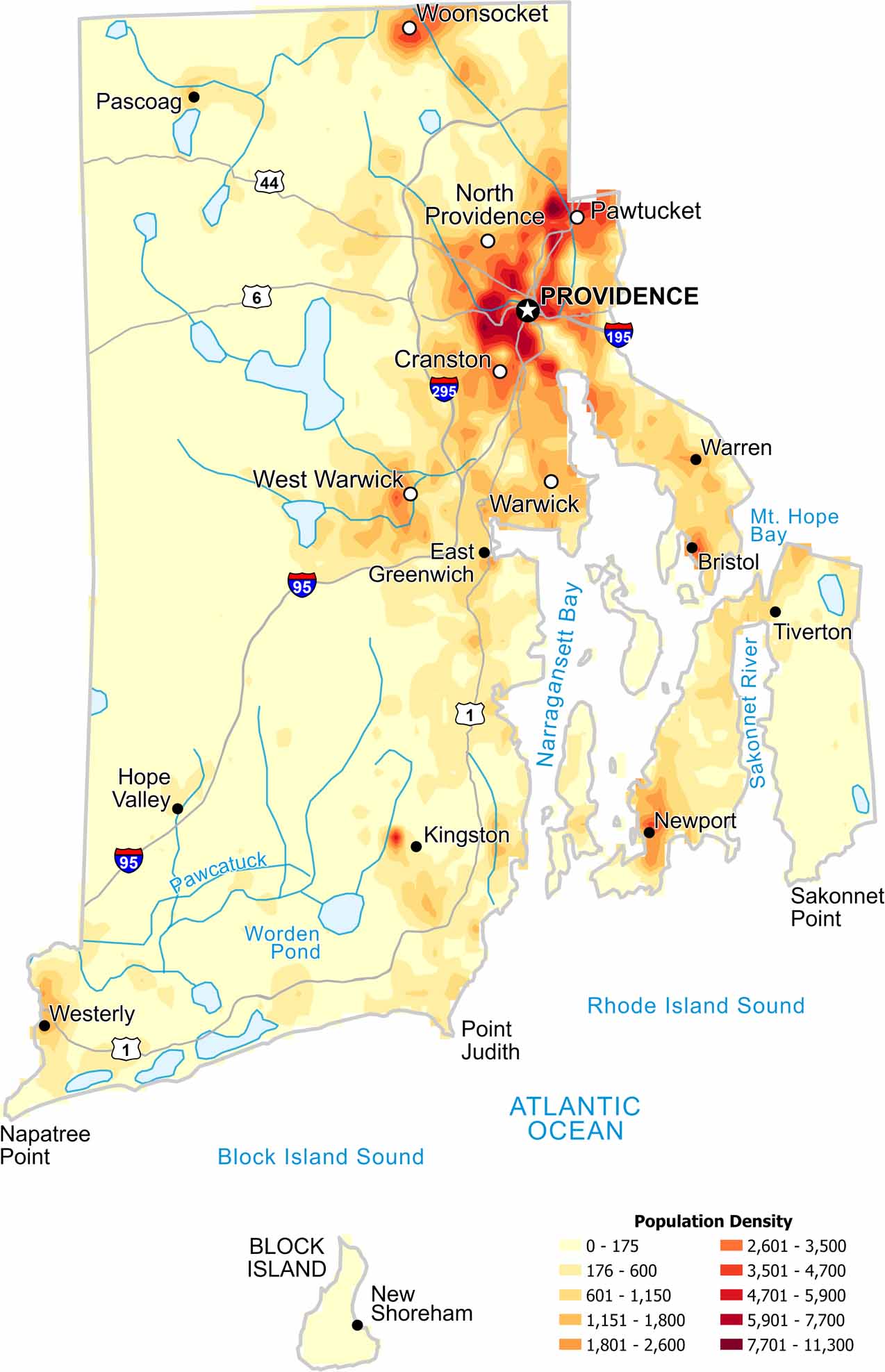
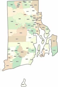
Our Rhode Island population density map shows how the concentration of people remains high across most of the state. This is because cities and towns sit close together with little open land between them. Providence is where population density is at its highest though.
Map Information
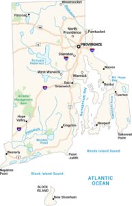
On the Map
Rhode Island State Maps
Here are our maps of this compact coastal state.


State Population Maps
Select any state map below to view its population density map.


