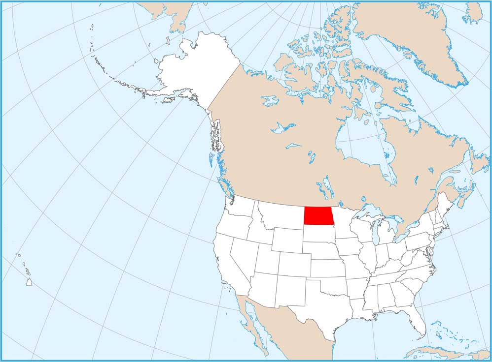
North Dakota Physical Map

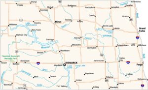
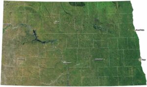
See flat prairie interrupted by the Badlands on our North Dakota physical map. It’s mostly Great Plains here with the Red River Valley forming the state’s flattest, most fertile strip along the eastern border. The Missouri River splits North Dakota roughly in half.
Map Information
On the Map
Physical State Maps
Select any state map below to view its physical map.


North Dakota State Maps
Find the map you need of the Peace Garden State.