New Jersey Population Map
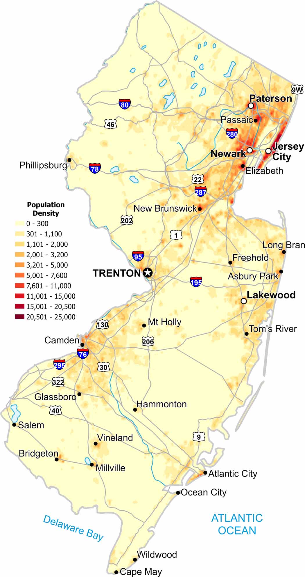
Population density is consistently high statewide. But cities like Newark and Jersey City drives density big time along the eastern edge. Our map shows little undeveloped land in the state of New Jersey.
Map Information
On the Map
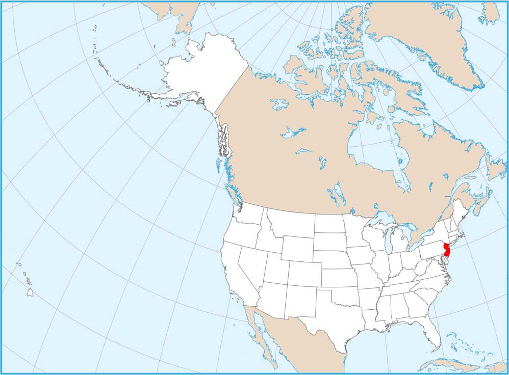
New Jersey State Maps
Explore maps from the Garden State.


State Population Maps
Select any state map below to view its population density map.


