New Jersey Outline Map
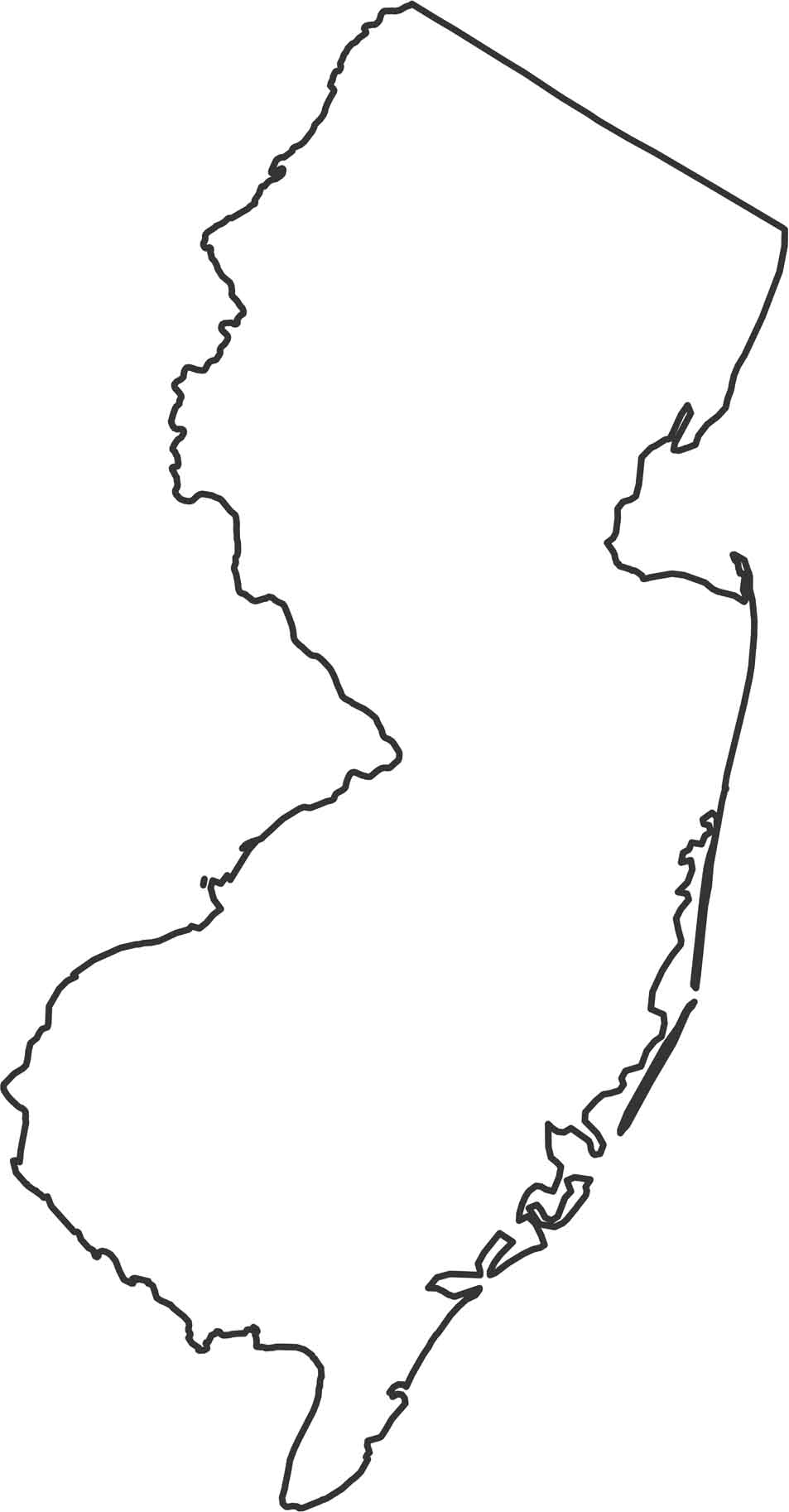
New Jersey’s outline runs between the Delaware River and the Atlantic. The shape tilts slightly with a narrow northern top. Our map shows the mix of river and coastal borders. It’s a small state and the outline is mostly determined by water.
Map Information
State Outline Maps
Click on a map below to check out outline maps of each state.


New Jersey State Maps
Explore maps from the Garden State.


