Nebraska Population Map
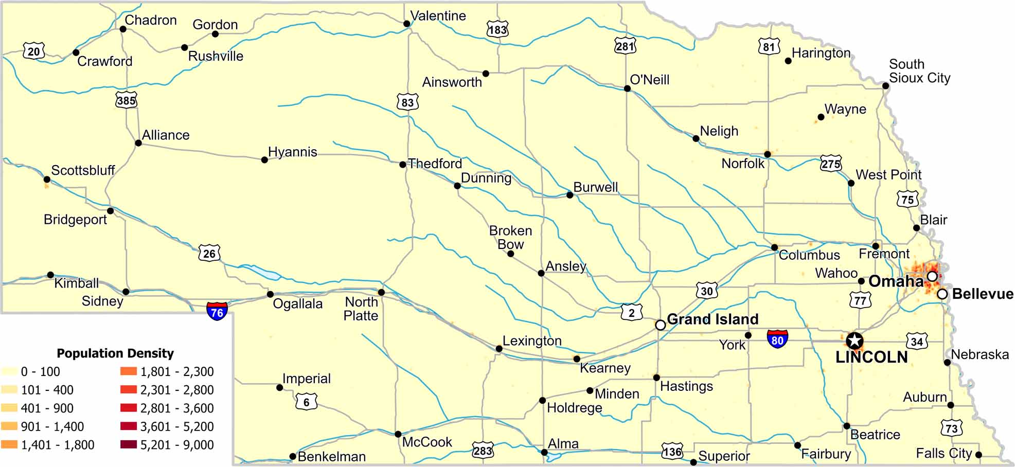
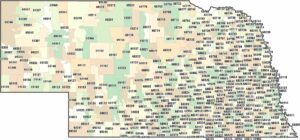
Eastern Nebraska holds the highest density in this state. Cities like Lincoln and Omaha stand out clearly. Check out our population density map to see quiet central regions, where agriculture dominates.
Map Information
On the Map
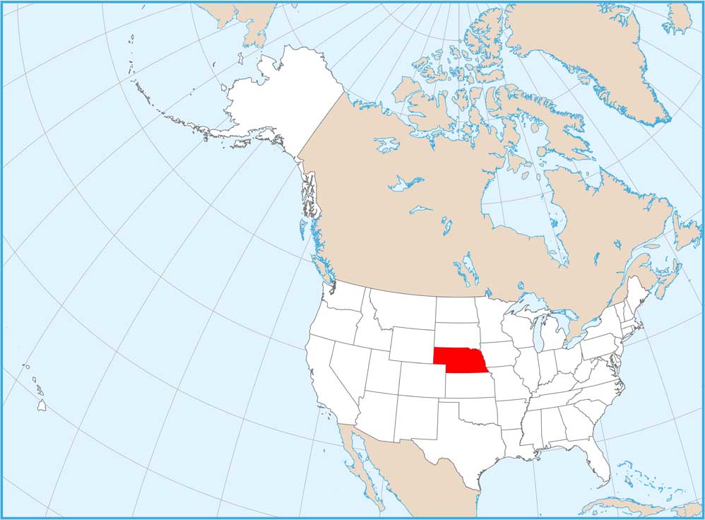
Nebraska State Maps
Examine maps showing prairies and cities in Nebraska.


State Population Maps
Select any state map below to view its population density map.


