Minnesota Outline Map
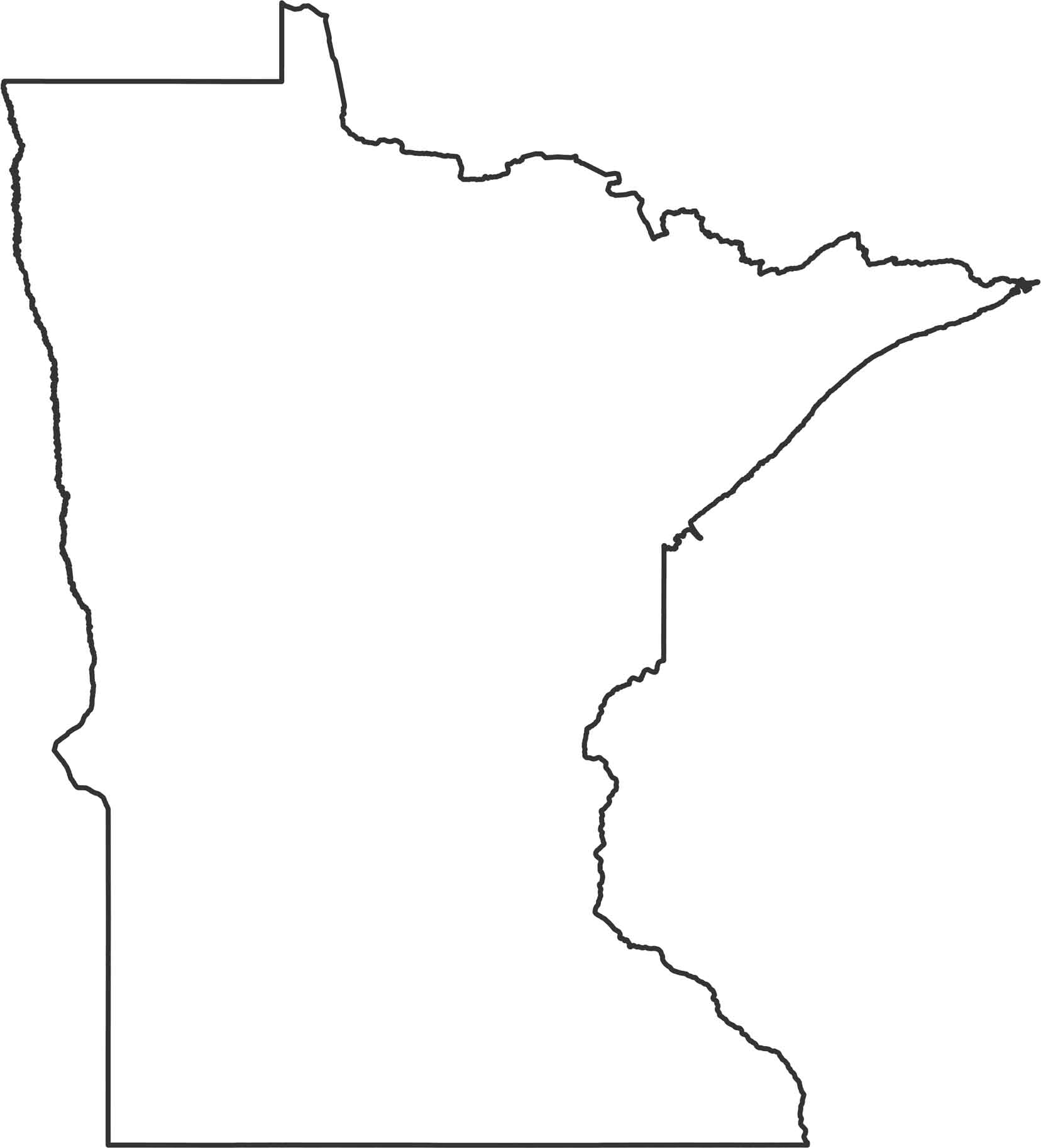
Here’s our outline map of Minnesota. As you can see, the eastern border follows the St. Croix River, which runs up to Lake Superior. The western side borders North and South Dakota. Up north, the border juts into a chunk of land that’s the northernmost point in the Lower 48 states.
Map Information
State Outline Maps
Click on a map below to check out outline maps of each state.


Minnesota State Maps
Explore every lake in our state maps of Minnesota


