Indiana Population Map

Our Indiana population density map shows urban centers with Indianapolis as the main focal point. Farmland fills the gaps without really any extremes other than Evansville and Fort Wayne.
Map Information
On the Map
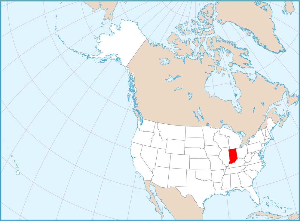
Indiana State Maps
Study about Indiana with our map collection


State Population Maps
Select any state map below to view its population density map.


