Florida Counties and Cities Map

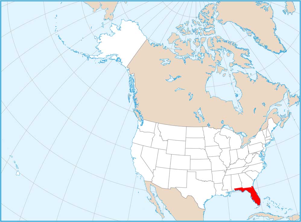
Our map shows Florida’s cities concentrate on the coasts. Miami, Fort Lauderdale, and West Palm Beach are all in the southeast with Tampa and St. Petersburg on the west. The panhandle stretches west with smaller cities, and the Everglades keep the southern interior mostly empty.
Map Information
On the Map
|
Name |
Population 2024 |
Total Area (sq mi) |
FIPS Code |
|
Alachua County |
291,782 |
968.8 |
12-001 |
|
Baker County |
29,325 |
589 |
12-003 |
|
Bay County |
199,718 |
1,033.10 |
12-005 |
|
Bradford County |
28,075 |
300.5 |
12-007 |
|
Brevard County |
658,447 |
1,557.00 |
12-009 |
|
Broward County |
2,037,472 |
1,322.80 |
12-011 |
|
Calhoun County |
13,278 |
574.3 |
12-013 |
|
Charlotte County |
212,122 |
858.2 |
12-015 |
|
Citrus County |
170,174 |
773.2 |
12-017 |
|
Clay County |
236,760 |
643.5 |
12-019 |
|
Collier County |
416,233 |
2,305.00 |
12-021 |
|
Columbia County |
73,977 |
801.3 |
12-023 |
|
DeSoto County |
36,744 |
639.1 |
12-027 |
|
Dixie County |
17,614 |
863.6 |
12-029 |
|
Duval County |
1,055,159 |
918.5 |
12-031 |
|
Escambia County |
331,275 |
874.7 |
12-033 |
|
Flagler County |
136,744 |
570.8 |
12-035 |
|
Franklin County |
12,979 |
1,037.60 |
12-037 |
|
Gadsden County |
44,151 |
528.5 |
12-039 |
|
Gilchrist County |
20,233 |
355.2 |
12-041 |
|
Glades County |
13,132 |
986.8 |
12-043 |
|
Gulf County |
15,876 |
744.4 |
12-045 |
|
Hamilton County |
14,334 |
519.1 |
12-047 |
|
Hardee County |
26,068 |
638.1 |
12-049 |
|
Hendry County |
46,130 |
1,189.80 |
12-051 |
|
Hernando County |
218,150 |
589 |
12-053 |
|
Highlands County |
109,778 |
1,106.70 |
12-055 |
|
Hillsborough County |
1,581,426 |
1,265.70 |
12-057 |
|
Holmes County |
19,876 |
489 |
12-059 |
|
Indian River County |
172,139 |
616.9 |
12-061 |
|
Jackson County |
49,980 |
954.6 |
12-063 |
|
Jefferson County |
15,921 |
636.5 |
12-065 |
|
Lafayette County |
8,640 |
547.9 |
12-067 |
|
Lake County |
444,204 |
1,156.90 |
12-069 |
|
Lee County |
860,959 |
1,212.40 |
12-071 |
|
Leon County |
300,488 |
701.8 |
12-073 |
|
Levy County |
47,765 |
1,412.80 |
12-075 |
|
Liberty County |
7,955 |
843.1 |
12-077 |
|
Madison County |
18,364 |
715.7 |
12-079 |
|
Manatee County |
458,352 |
892.7 |
12-081 |
|
Marion County |
428,905 |
1,662.70 |
12-083 |
|
Martin County |
165,666 |
753.1 |
12-085 |
|
Miami-Dade County |
2,838,461 |
2,431.20 |
12-086 |
|
Monroe County |
80,908 |
3,737.20 |
12-087 |
|
Nassau County |
104,376 |
725.9 |
12-089 |
|
Okaloosa County |
220,483 |
1,082.10 |
12-091 |
|
Okeechobee County |
42,369 |
891.9 |
12-093 |
|
Orange County |
1,533,646 |
1,003.20 |
12-095 |
|
Osceola County |
468,058 |
1,506.00 |
12-097 |
|
Palm Beach County |
1,582,055 |
2,383.20 |
12-099 |
|
Pasco County |
659,114 |
868.4 |
12-101 |
|
Pinellas County |
965,870 |
608.1 |
12-103 |
|
Polk County |
852,878 |
2,010.40 |
12-105 |
|
Putnam County |
77,301 |
826.9 |
12-107 |
|
St. Johns County |
334,928 |
821.5 |
12-109 |
|
St. Lucie County |
390,670 |
687.8 |
12-111 |
|
Santa Rosa County |
207,653 |
1,173.80 |
12-113 |
|
Sarasota County |
476,604 |
725.3 |
12-115 |
|
Seminole County |
494,605 |
345.3 |
12-117 |
|
Sumter County |
154,693 |
579.8 |
12-119 |
|
Suwannee County |
47,536 |
692.3 |
12-121 |
|
Taylor County |
21,843 |
1,232.20 |
12-123 |
|
Union County |
15,738 |
249.8 |
12-125 |
|
Volusia County |
602,772 |
1,432.40 |
12-127 |
|
Wakulla County |
37,115 |
735.7 |
12-129 |
|
Walton County |
89,666 |
1,239.60 |
12-131 |
|
Washington County |
26,503 |
616 |
12-133 |
Counties and Cities Maps
Select any state map below to view its counties and cities map.


Florida State Maps
Discover Florida through our state maps


