Connecticut Counties and Cities Map

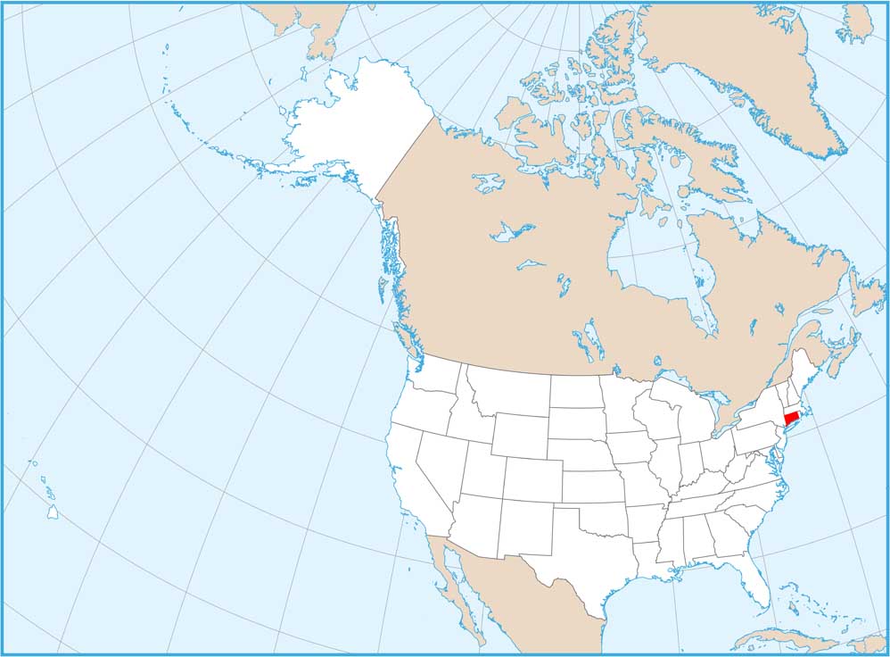
Connecticut’s small size means cities are packed close together, especially along the coast and the Connecticut River valley. Hartford sits in the middle while Bridgeport, New Haven, and Stamford crowd the southern coast near New York. The counties are so small you can drive across several in an hour.
Map Information
On the Map
|
Name |
Total Area (sq mi) |
FIPS Code |
|
Fairfield County |
837 |
09-001 |
|
Hartford County |
750.6 |
09-003 |
|
Litchfield County |
944.6 |
09-005 |
|
Middlesex County |
439.1 |
09-007 |
|
New Haven County |
862.1 |
09-009 |
|
New London County |
772 |
09-011 |
|
Tolland County |
417.1 |
09-013 |
|
Windham County |
521.2 |
09-015 |
Counties and Cities Maps
Select any state map below to view its counties and cities map.


Connecticut State Maps
Here’s your getaway to Connecticut geography


