California Outline Map
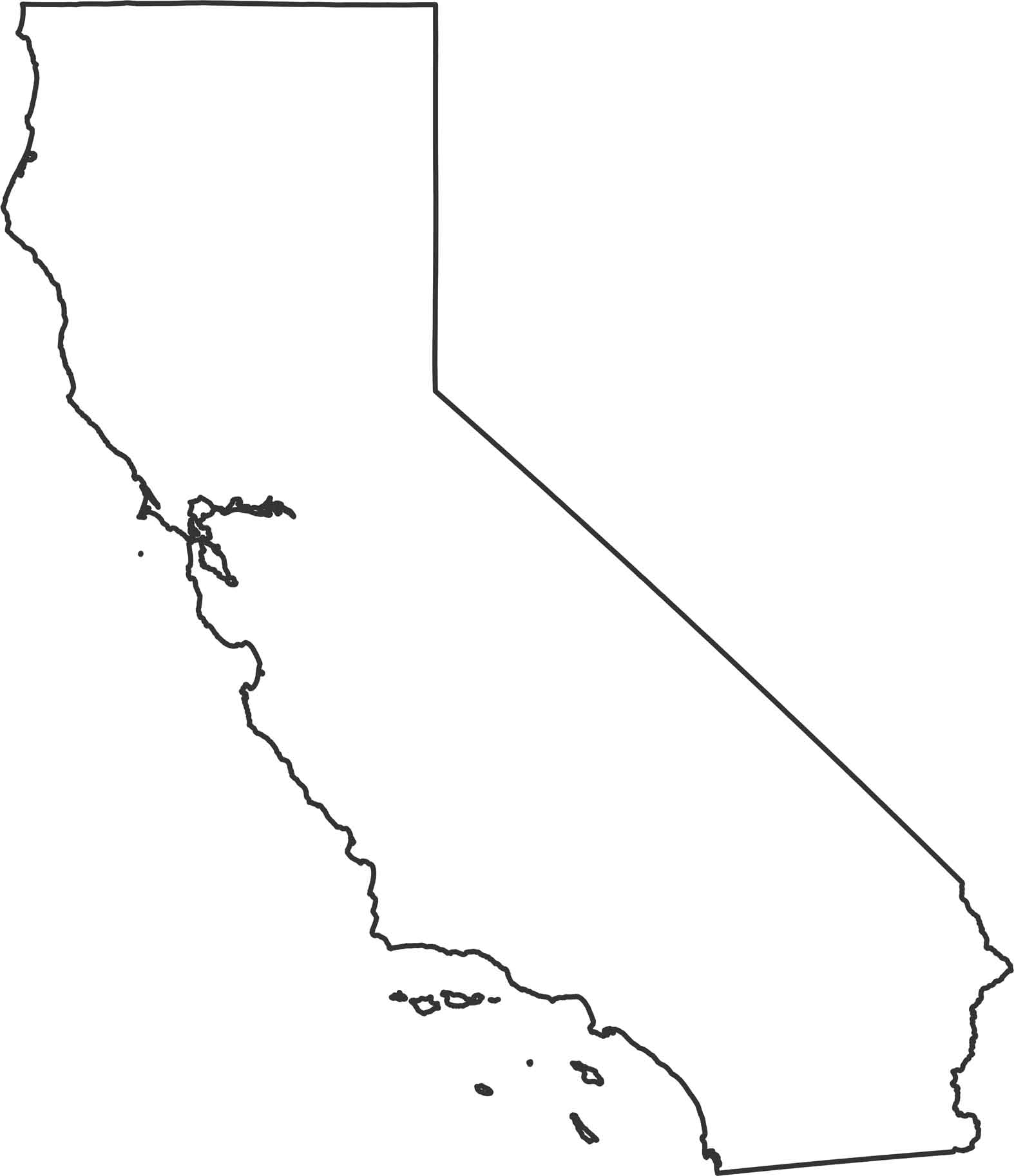
Our California outline map shows over 800 miles of Pacific coastline running down the entire western edge. The eastern border is mostly straight lines through mountains and desert. Down in the southeast corner, the Colorado River creates a natural boundary into Mexico.
Map Information
State Outline Maps
Click on a map below to check out outline maps of each state.


California State Maps
Explore California with our state maps


