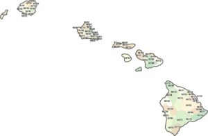
Hawaii County Map
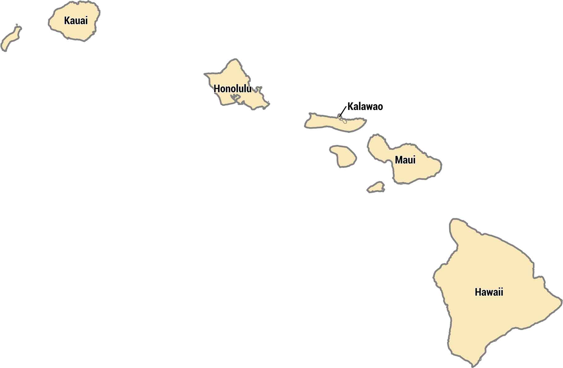
Hawaii’s 5 counties each cover different islands. Each county matches one of the main islands, except for a small area on Molokai called Kalawao. The Big Island is actually called Hawaii County and is much bigger than the others in size. Honolulu County is just Oahu, where most people live and visit.
Map Information
On the Map
Our table below provides you with population, area, and FIPS code for each county.
|
Name |
Population 2024 |
Total Area (sq mi) |
FIPS Code |
|
Hawaii County |
209,790 |
5,086.10 |
15-001 |
|
Honolulu County |
998,747 |
2,166.20 |
15-003 |
|
Kalawao County |
81 |
52.8 |
15-005 |
|
Kauai County |
73,840 |
1,266.30 |
15-007 |
|
Maui County |
163,688 |
2,398.30 |
15-009 |
Hawaii State Maps
All the essential Hawaii maps you need are below


State County Maps
Click on a map below to check out county maps of each state.


