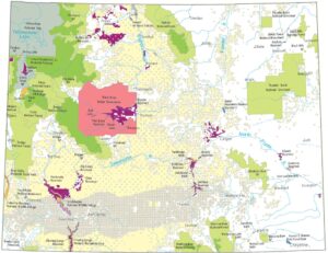
Wyoming Precipitation Map
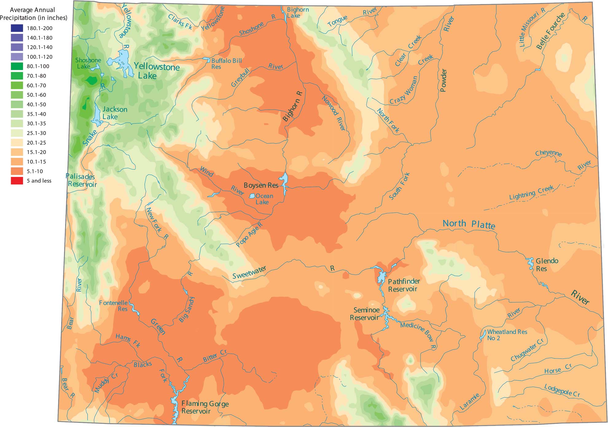
Wyoming is one of the driest states because it is high up and far from any ocean. Our precipitation map of Wyoming shows that the only wet areas are the high mountain ranges like the Tetons.
Map Information
State Precipitation Maps
Select any state map below to view its precipitation map.


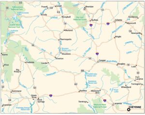
Wyoming State Maps
Check out our maps across wide plains and peaks.