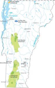
Vermont Population Map
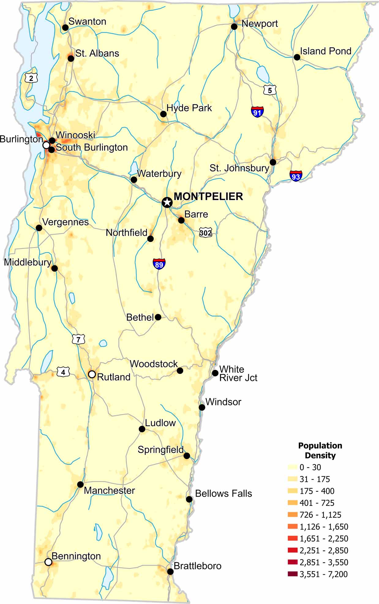
Population density stays low across the state. Small towns are scattered among forests and hills. Our map shows few dense clusters because in Vermont, it’s where rural land dominates.
Map Information
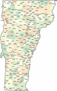
On the Map
Vermont State Maps
Explore maps from the Green Mountain State.


State Population Maps
Select any state map below to view its population density map.


