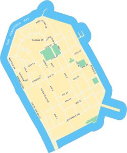
Map of San Francisco, California
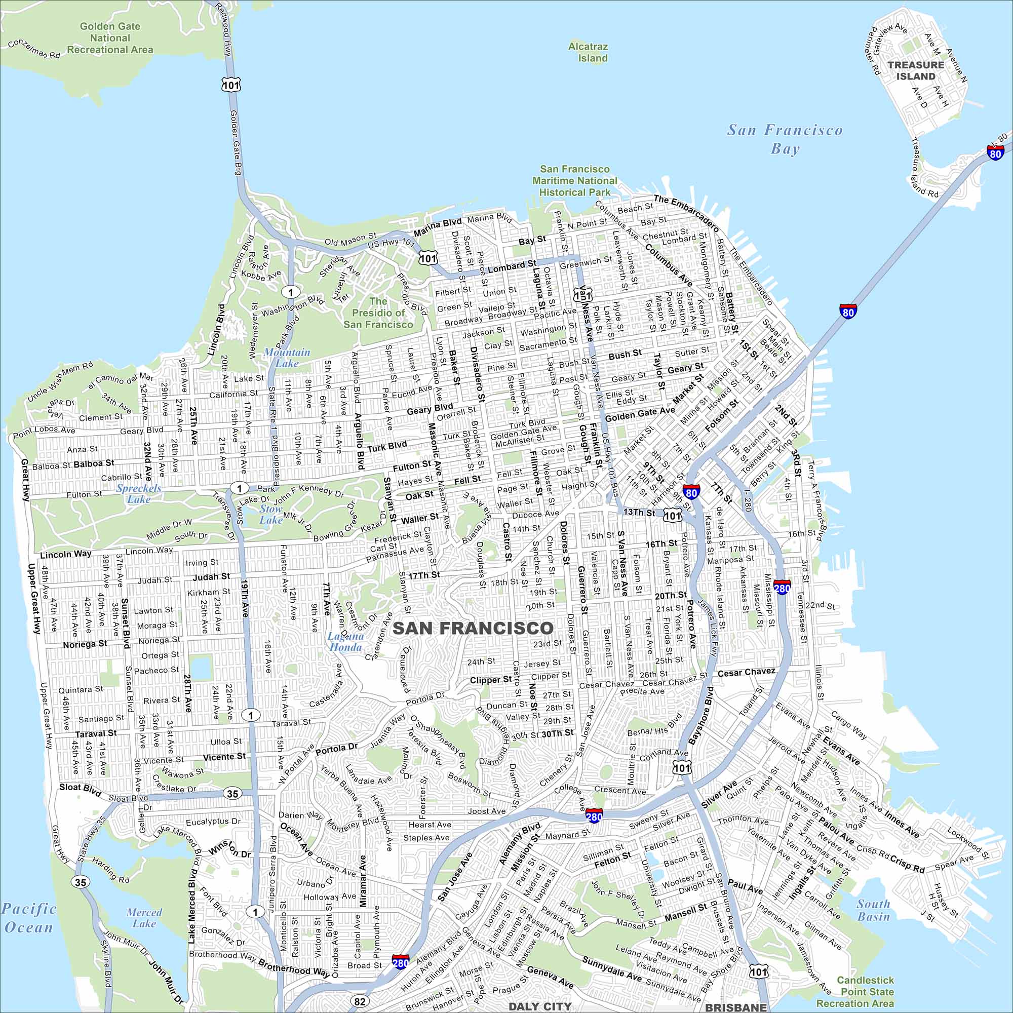
Our map of San Francisco takes you from the Golden Gate Bridge to the Ferry Building. It shows neighborhoods, parks, and the waterfront. Few cities have such a striking layout.
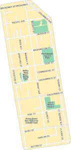
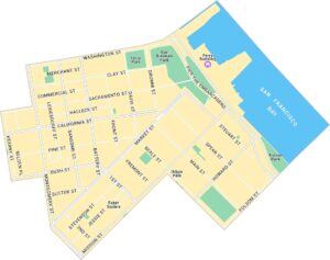
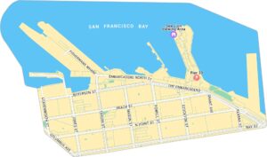
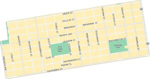
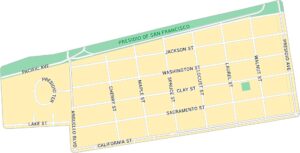
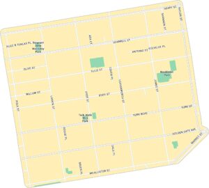
San Francisco Neighborhood Maps
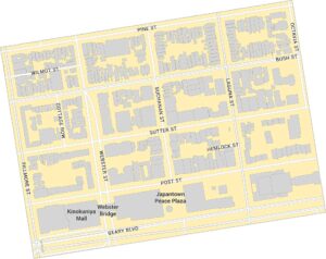
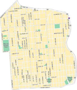
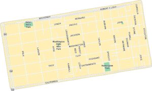
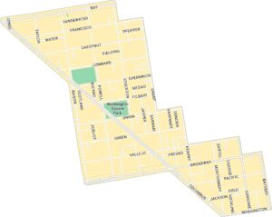
See our neighborhood maps for a closer look of the city.
California State Maps
Explore California with our state maps


Map Information
On the Map
Interstates/Highways: I-80, I-280, US Hwy 101, State Rte 1, State Rte 35, State Rte 82 Major Roads: Market St, Geary Blvd, California St, Lombard St, Van Ness Ave, The Embarcadero, Columbus Ave, Mission St, Fulton St, Fell St, Oak St, Lincoln Way, Sloat Blvd, Portola Dr, Cesar Chavez St, 19th Ave, Sunset Blvd, Great Hwy, Bayshore Blvd, Alemany Blvd Lakes and Reservoirs: San Francisco Bay, Pacific Ocean, South Basin, Lake Merced, Mountain Lake, Stow Lake, Spreckels Lake Parks and Preserves: The Presidio of San Francisco, Golden Gate National Recreational Area, San Francisco Maritime National Historical Park, Candlestick Point State Recreation Area, Alcatraz Island Nearby Communities: Daly City, Brisbane, Treasure IslandCalifornia City Maps
Here are detailed maps of California


