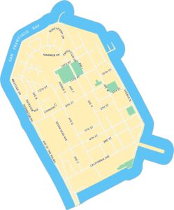
Mission District Map, San Francisco
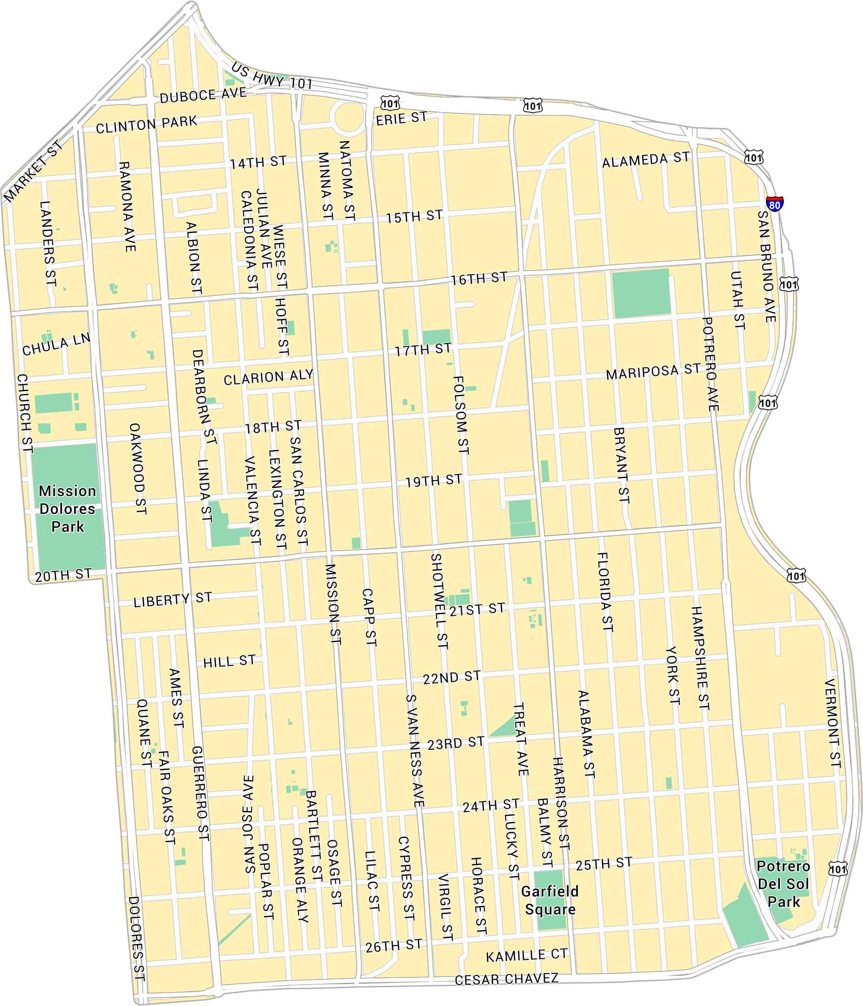
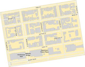
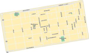
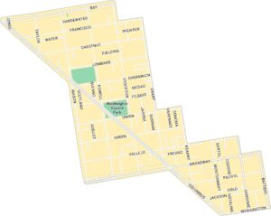
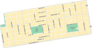
Our map of the Mission District shows the neighborhood in central San Francisco. You’ll find major streets and parks such as Dolores Park.
Map Information
On the Map
Interstates/Highways: I-80, US Hwy 101 Major Roads: Mission St, Valencia St, Guerrero St, Dolores St, South Van Ness Ave, Folsom St, Harrison St, Bryant St, Potrero Ave, 16th St, 17th St, 18th St, 19th St, 20th St, 21st St, 22nd St, 23rd St, 24th St, 25th St, 26th St Parks: Mission Dolores Park, Garfield Square, Potrero Del Sol ParkSan Francisco Neighborhood Maps
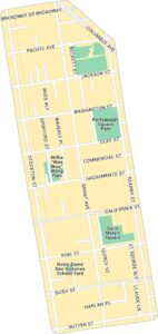
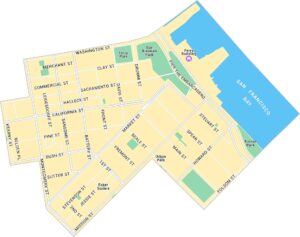
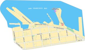
See our neighborhood maps for a closer look of the city.
California City Maps
Here are detailed maps of California


