Presidio Heights Map San Francisco
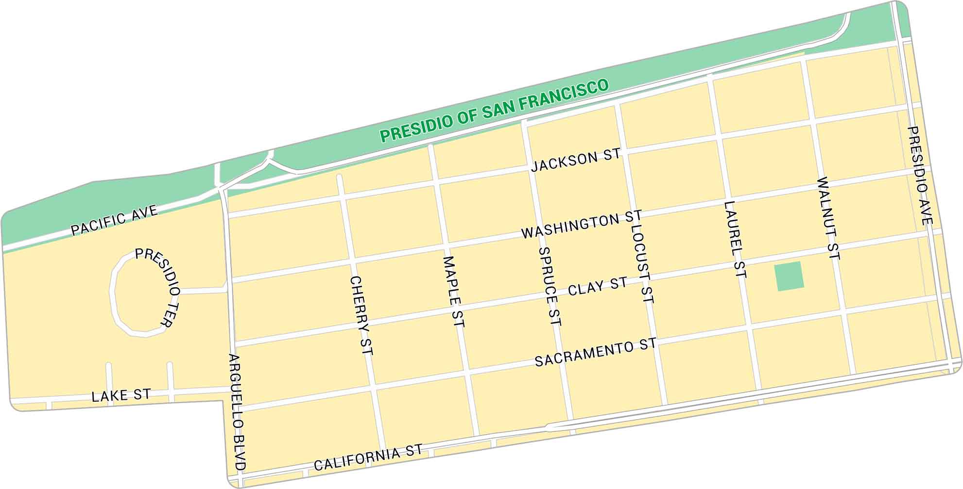
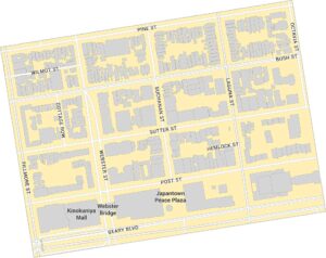
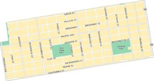
Our map of Presidio Heights shows a peaceful neighborhood bordering the Presidio. It includes major streets and nearby green spaces. It’s a quiet spot situated on San Francisco’s north side.
Map Information
On the Map
Major Roads: California St, Presidio Ave, Arguello Blvd, Sacramento St, Washington St, Jackson St, Pacific Ave, Lake St, Cherry St, Maple St, Spruce St, Locust St, Laurel St, Walnut St, Presidio Ter Parks: Presidio of San FranciscoSan Francisco Neighborhood Maps
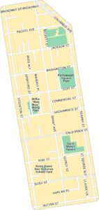
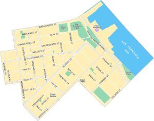
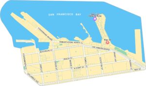
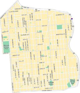
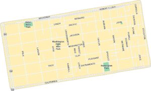
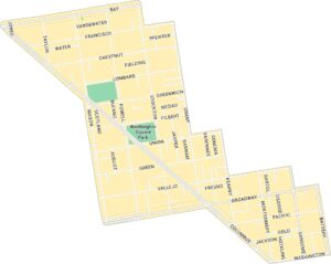
See our neighborhood maps for a closer look of the city.
California City Maps
Here are detailed maps of California


