Map of San Diego, California
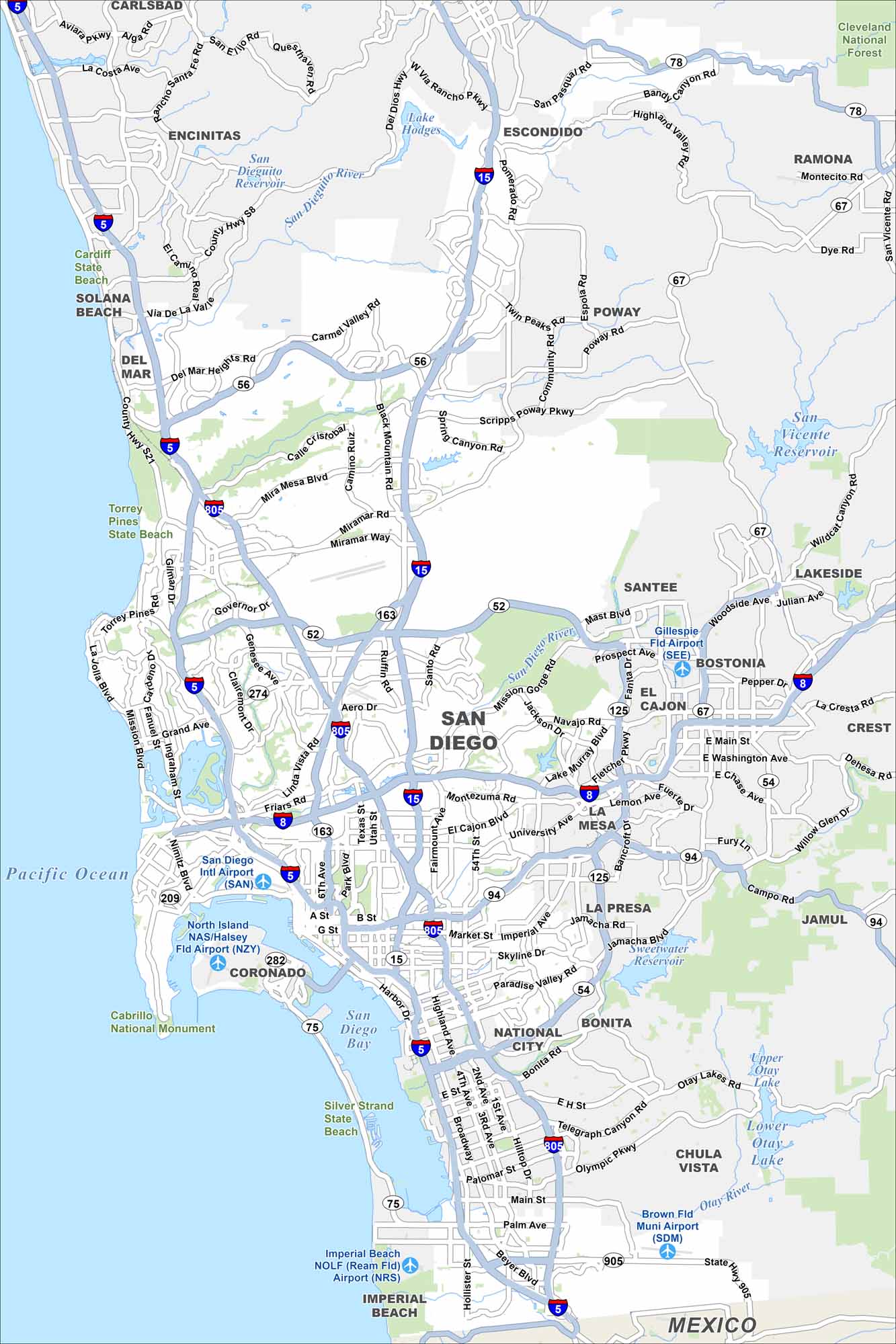
Our map of San Diego highlights its major highways, airports, parks and the waterfront. From beaches to neighborhoods, the layout keeps things clear. It’s a big city but easy to explore with our road map.
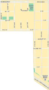
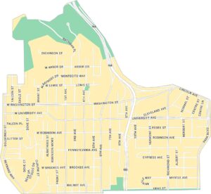
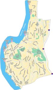
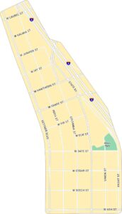
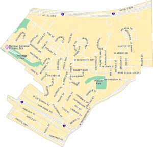
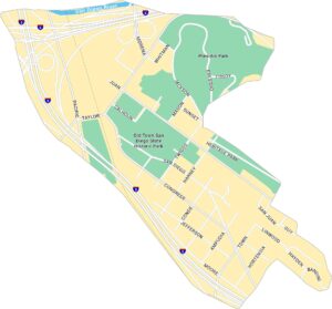
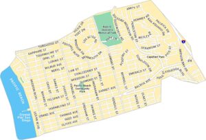
San Diego Neighborhood Maps
See our neighborhood maps for a closer look of the city.
California State Maps
Explore California with our state maps


Map Information
On the Map
Interstates/Highways: I-5, I-15, I-8, I-805, State Rte 163, State Rte 52, State Rte 94, State Rte 56, State Rte 54, State Rte 125, State Rte 75, State Rte 67, State Rte 78 Major Roads: El Cajon Blvd, University Ave, Market St, Imperial Ave, Mira Mesa Blvd, Miramar Rd, Genesee Ave, Friars Rd, Rosecrans St, Harbor Dr, Broadway, Main St, Palm Ave, Beyer Blvd, Telegraph Canyon Rd, Otay Lakes Rd, Mission Ave, Mission Bay Dr, Ingraham St, Nimitz Blvd Airports: San Diego Intl Airport (SAN), North Island NAS/Halsey Fld Airport (NZY), Montgomery Field Airport (MYF), Gillespie Fld Airport (SEE), Brown Fld Muni Airport (SDM), Imperial Beach NOLF (NRS) Lakes and Reservoirs: Pacific Ocean, San Diego Bay, Mission Bay, Lake Hodges, San Vicente Reservoir, Sweetwater Reservoir, Upper Otay Lake, Lower Otay Lake Major Rivers: San Dieguito River, San Diego River, Otay River Parks and Preserves: Cleveland National Forest, Cabrillo National Monument, Silver Strand State Beach, Torrey Pines State Beach, Cardiff State Beach Nearby Communities: Chula Vista, National City, La Mesa, El Cajon, Santee, Poway, Escondido, Encinitas, Solana Beach, Del Mar, Coronado, Imperial Beach, Lemon Grove, Bonita, La Presa, Spring Valley, Jamul, Lakeside, Bostonia, Crest, RamonaCalifornia City Maps
Here are detailed maps of California


