Little Italy Map, San Diego
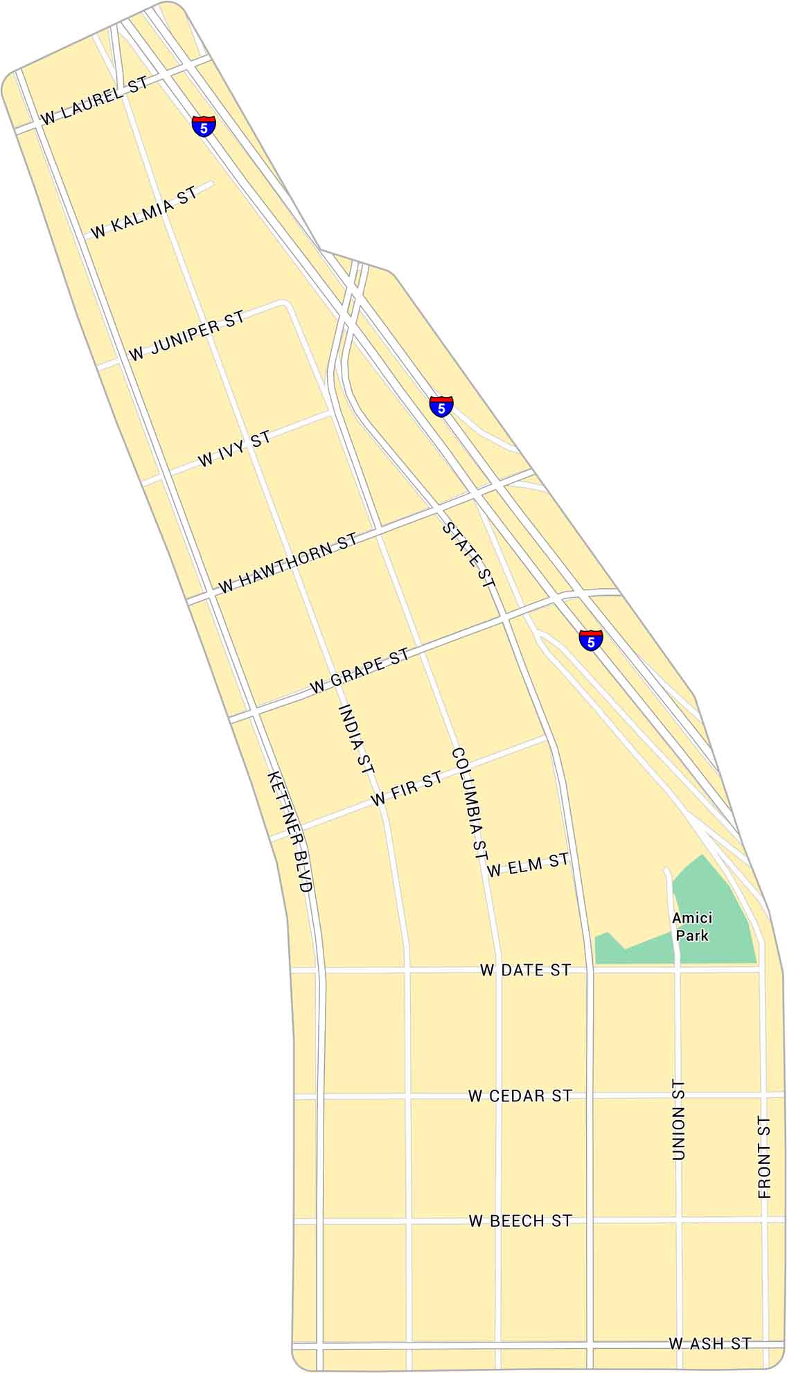
Our map of Little Italy shows this neighborhood just north of downtown San Diego. You’ll find its main streets, close to the waterfront area.
Map Information
On the Map
Interstates/Highways: I-5 Major Roads: India St, Kettner Blvd, State St, Columbia St, Union St, Front St, Laurel St, Kalmia St, Juniper St, Ivy St, Hawthorn St, Grape St, Fir St, Elm St, Date St, Cedar St, Beech St, Ash St Parks: Amici ParkCalifornia City Maps
Here are detailed maps of California


