La Jolla Map, San Diego
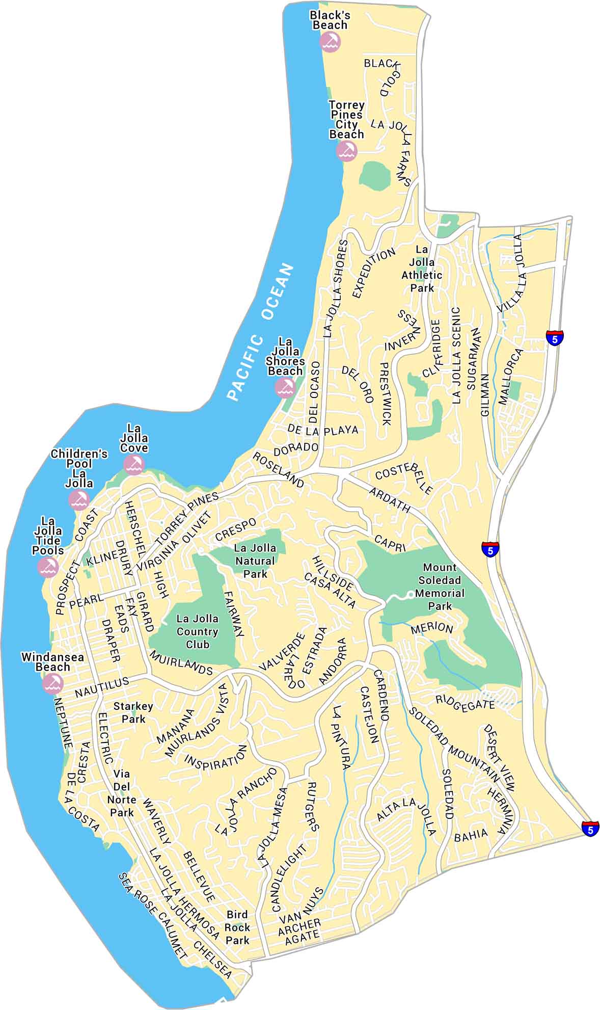
North of downtown San Diego, La Jolla stretches along cliffs and coves facing the Pacific. The map shows its winding streets, beaches, and parks.
Map Information
On the Map
Interstates/Highways: I-5 Major Roads: La Jolla Blvd, Torrey Pines Rd, La Jolla Village Dr, Ardath Rd, Pearl St, Nautilus St, Prospect St, Girard Ave, Draper Ave, Eads Ave, Fay Ave, Herschel Ave, Gilman Dr, La Jolla Scenic Dr, Soledad Mountain Rd, La Jolla Hermosa Ave, Muirlands Dr, Hidden Valley Rd, Cliffridge Ave, Via De La Valle Oceans: Pacific Ocean Parks: Mount Soledad Memorial Park, La Jolla Natural ParkCalifornia City Maps
Here are detailed maps of California


