Hillcrest Map, San Diego
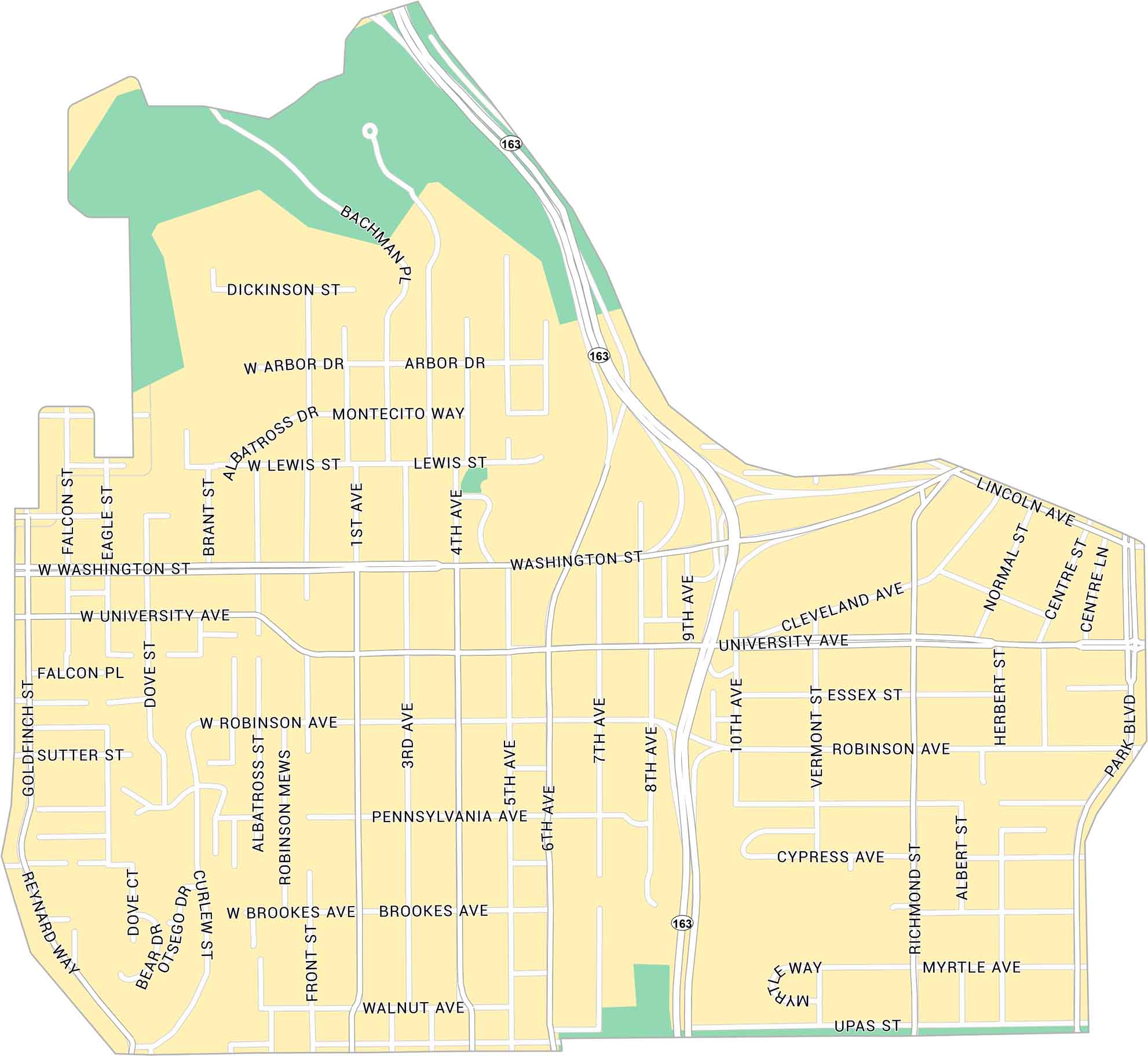
Hillcrest sits just north of Balboa Park, close to the center of San Diego. Our map lays out its highways, parks, and tight grid of streets. Overall, it’s a lively, walkable area with plenty going on day and night.
Map Information
On the Map
Interstates/Highways: State Rte 163 Major Roads: Washington St, University Ave, Robinson Ave, Park Blvd, Normal St, 1st Ave, 3rd Ave, 4th Ave, 5th Ave, 6th Ave, 7th Ave, 8th Ave, 9th Ave, 10th Ave, Richmond St, Vermont St, Herbert St, Front St, Albatross St, Brant StCalifornia City Maps
Here are detailed maps of California


