Old Town San Diego Map
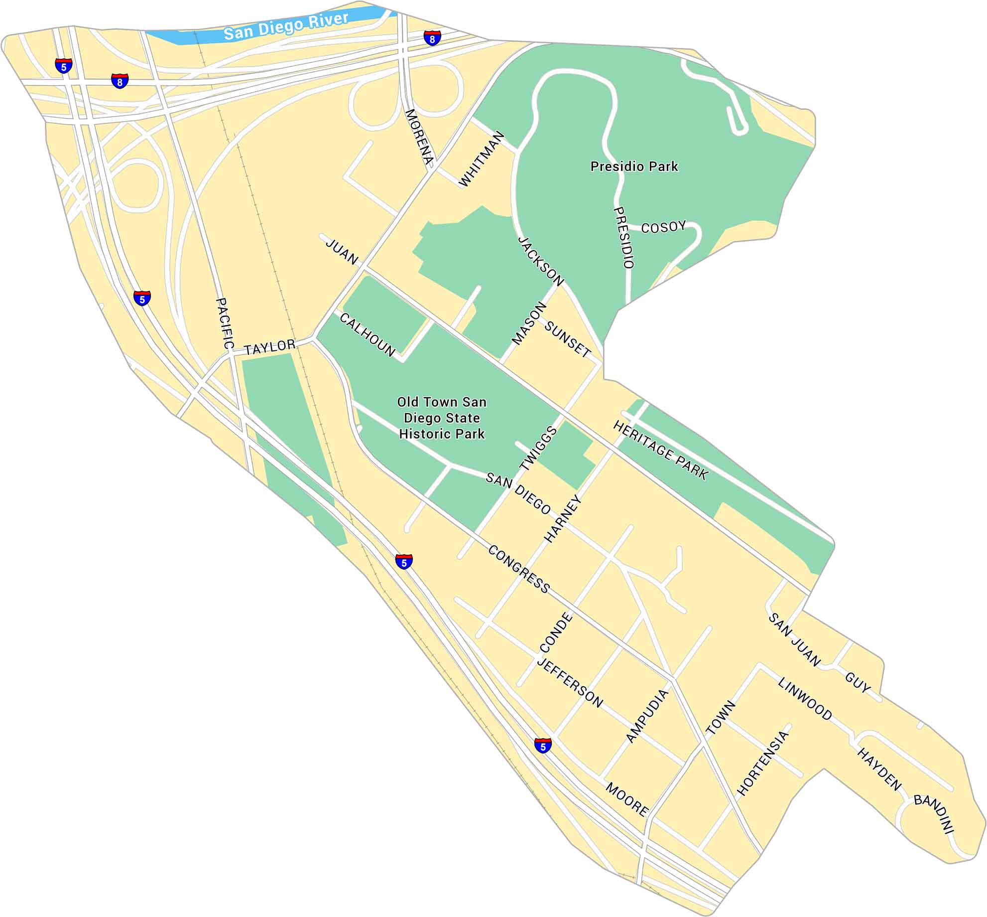
Old Town San Diego sits just north of downtown, near the junction of Interstates 5 and 8. It’s the historic center of the city, close to the Presidio and Mission Valley. Our map shows its streets, parks, and key landmarks.
Map Information
On the Map
Interstates/Highways: I-5, I-8, Pacific Hwy Major Roads: Taylor St, Morena Blvd, Congress St, Jefferson St, San Juan Rd, Moore St, Juan St, Calhoun St, Twiggs St, Harney St, Conde St, Mason St, Jackson St, Whitman St, Cosoy Way, Presidio Dr, Sunset Blvd, Heritage Park Row, Ampudia St Major Rivers: San Diego River Parks: Presidio Park, Old Town San Diego State Historic ParkCalifornia City Maps
Here are detailed maps of California


