Pacific Beach Map, San Diego
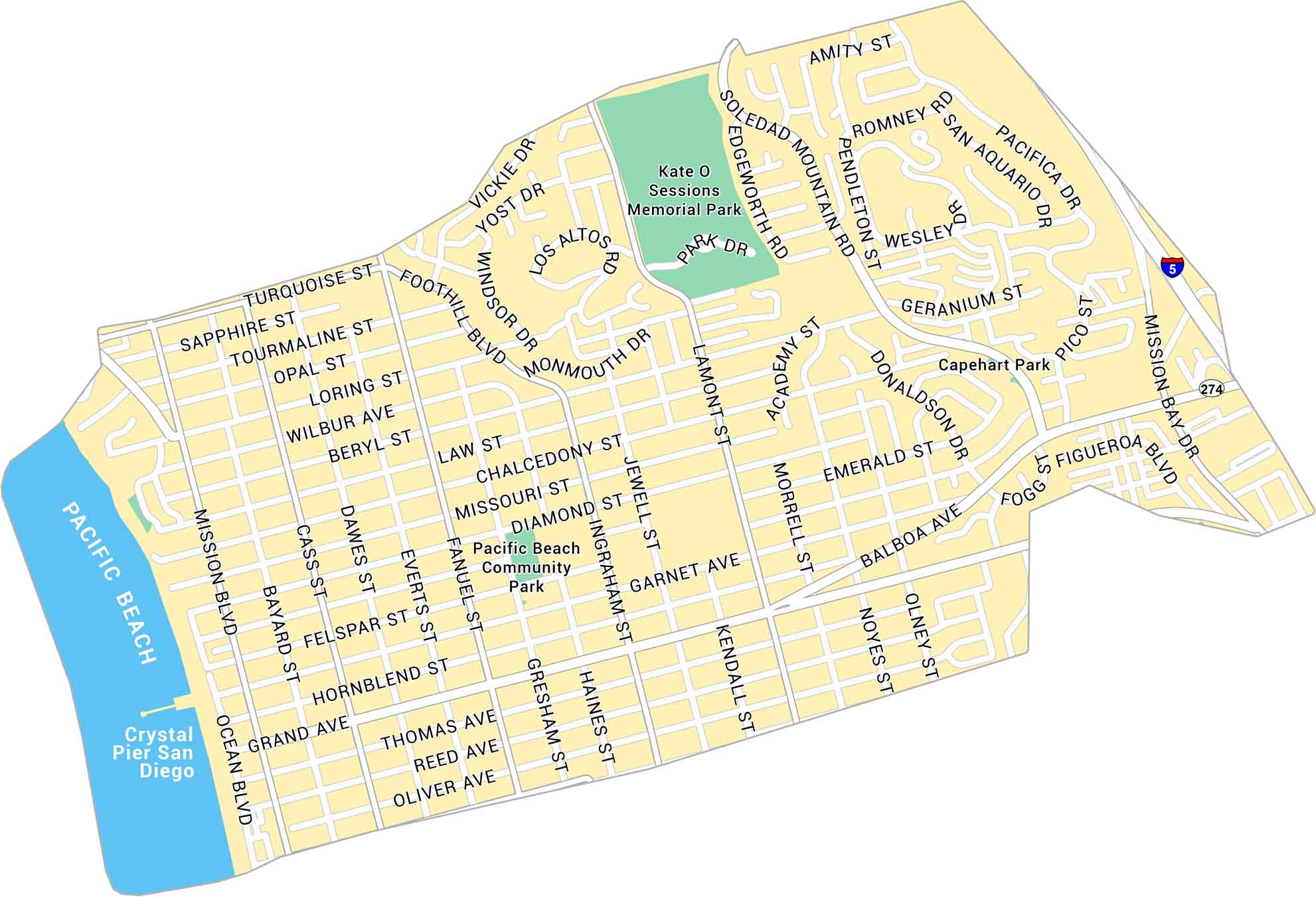
Our map of Pacific Beach shows the coastal neighborhood stretching along the San Diego shoreline. It includes main streets, parks and the Crystal Pier. Get acquainted with this oceanfront area with plenty of open space and surf.
Map Information
On the Map
Interstates/Highways: I-5, State Rte 274 Major Roads: Garnet Ave, Grand Ave, Ingraham St, Mission Bay Dr, Balboa Ave, Mission Blvd, Turquoise St, Beryl St, Diamond St, Lamont St, Cass St, Dawes St, Fanuel St, Haines St, Gresham St, Jewel St, Kendall St, Olney St, Noyes St, Foothill Blvd Oceans: Pacific Ocean Parks: Kate O Sessions Memorial Park, Pacific Beach Community Park, Capehart Park Landmarks: Crystal Pier San DiegoCalifornia City Maps
Here are detailed maps of California


