Rhode Island Precipitation Map
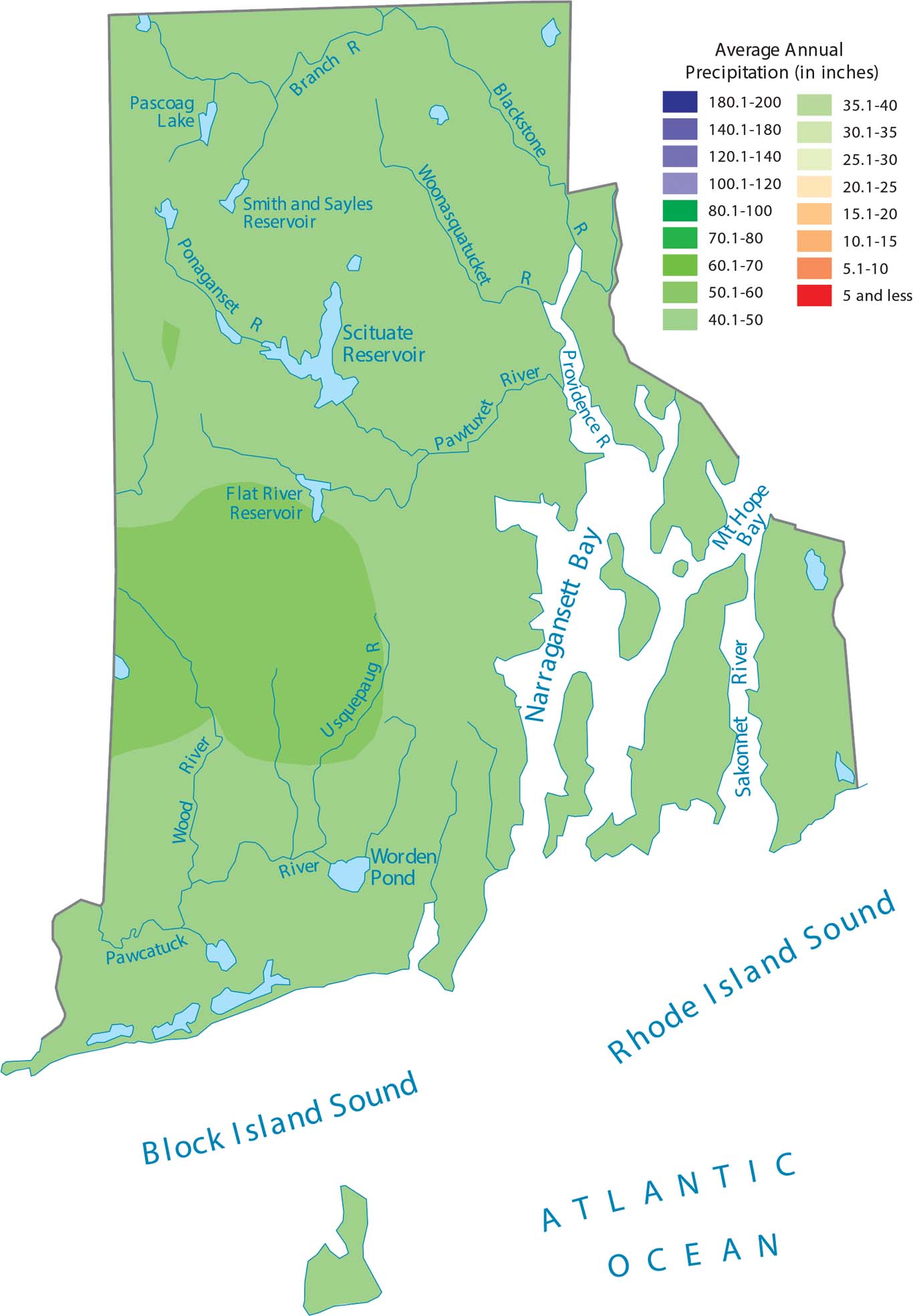
Rhode Island’s small size and coastal position means Atlantic storms keep the whole state consistently wet. There’s not enough variation in elevation to create different rainfall zones. But our precipitation map of Rhode Island shows the western region receives slightly more precipitation.
Map Information
State Precipitation Maps
Select any state map below to view its precipitation map.


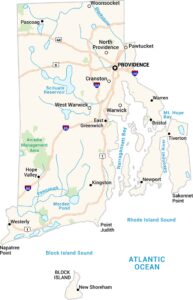
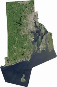
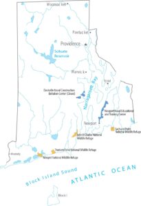
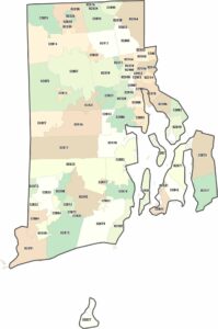
Rhode Island State Maps
Here are our maps of this compact coastal state.