New York Outline Map
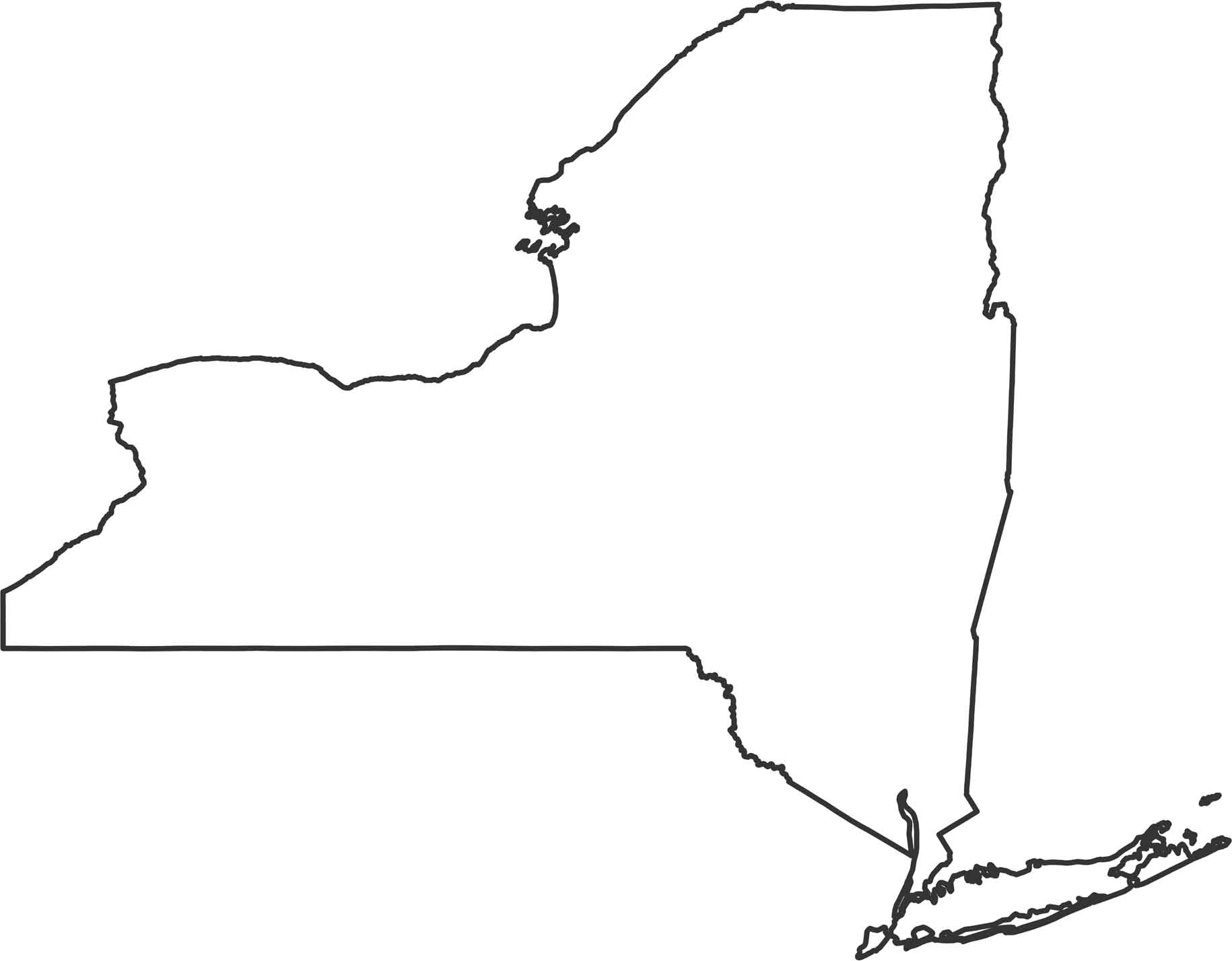
New York stretches from the Great Lakes all the way to the Atlantic. Our New York outline map highlights its borders showing how spread out the state is. One notable border is the one with Lake Ontario and the St. Lawrence River forming the northern border with Canada.
Map Information
State Outline Maps
Click on a map below to check out outline maps of each state.


New York State Maps
Find state maps of the Empire State.


