Minnesota Population Map
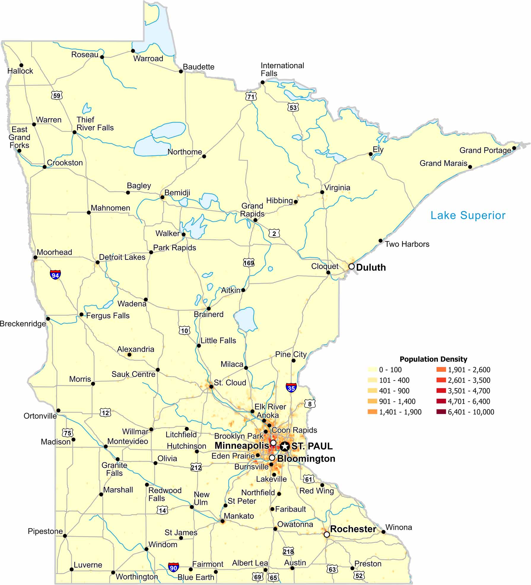
The Twin Cities dominate our population density map of Minnesota. But density fades outward such as in the sparse northern regions. Lakes and forests limit settlement in rural Minnesota.
Map Information
On the Map
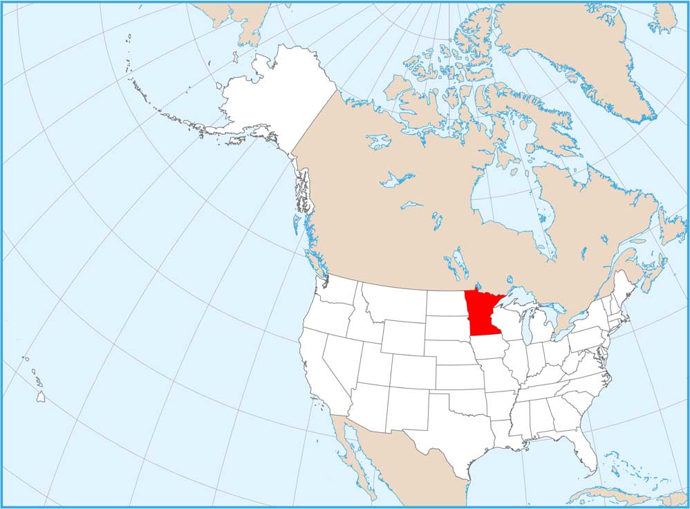
Minnesota State Maps
Explore every lake in our state maps of Minnesota


State Population Maps
Select any state map below to view its population density map.


