Maryland Population Map
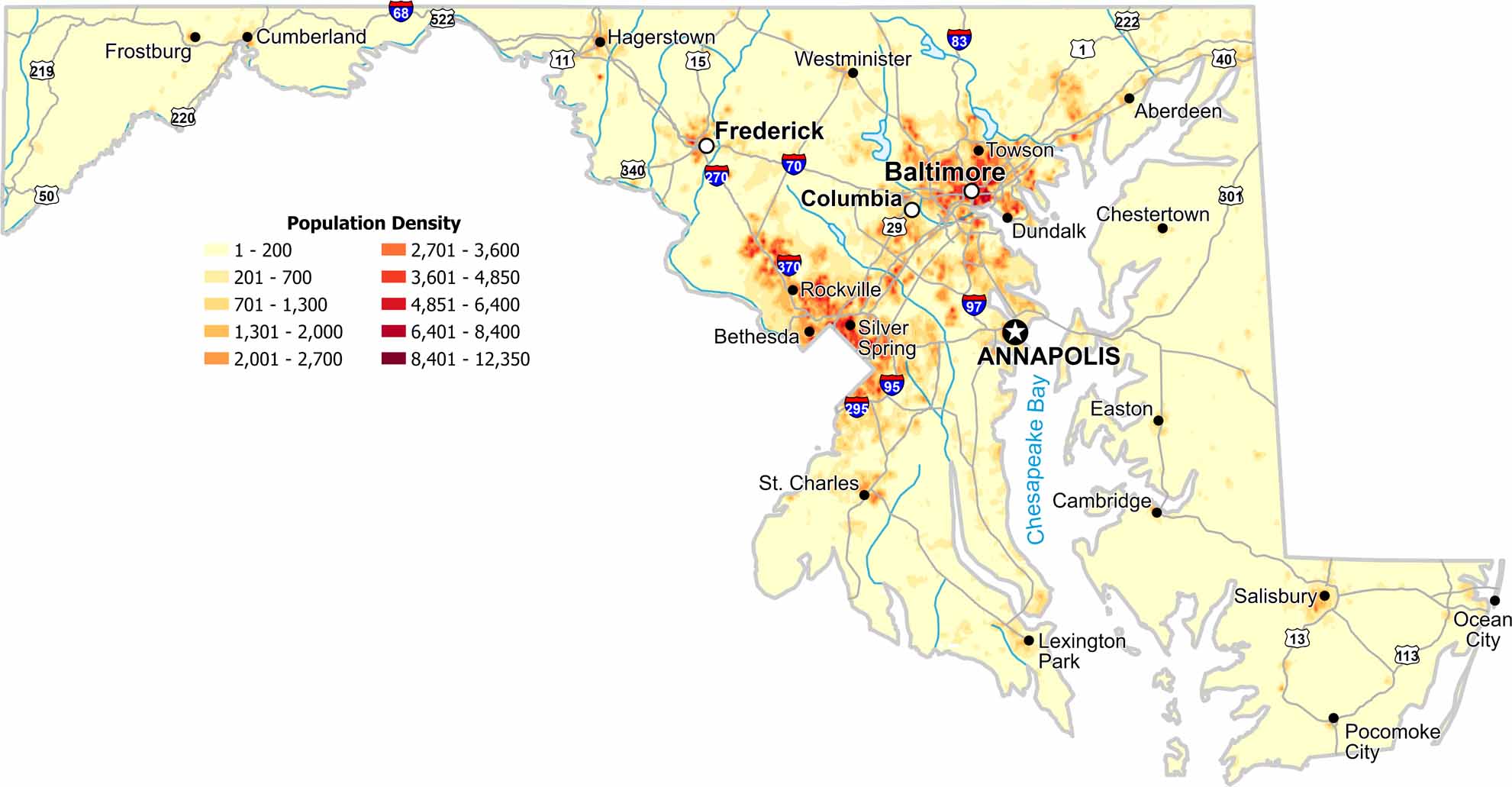
Population density peaks near major metro areas with Baltimore being the population juggernaut here. Our population density map of Maryland shows thinning population farther inland. Proximity to cities and Chesapeake Bay matters most for population.
Map Information
On the Map
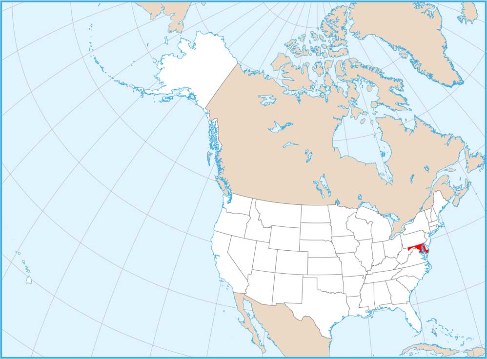
Maryland State Maps
See the geography of Maryland with our state maps


State Population Maps
Select any state map below to view its population density map.


