Arkansas Outline Map
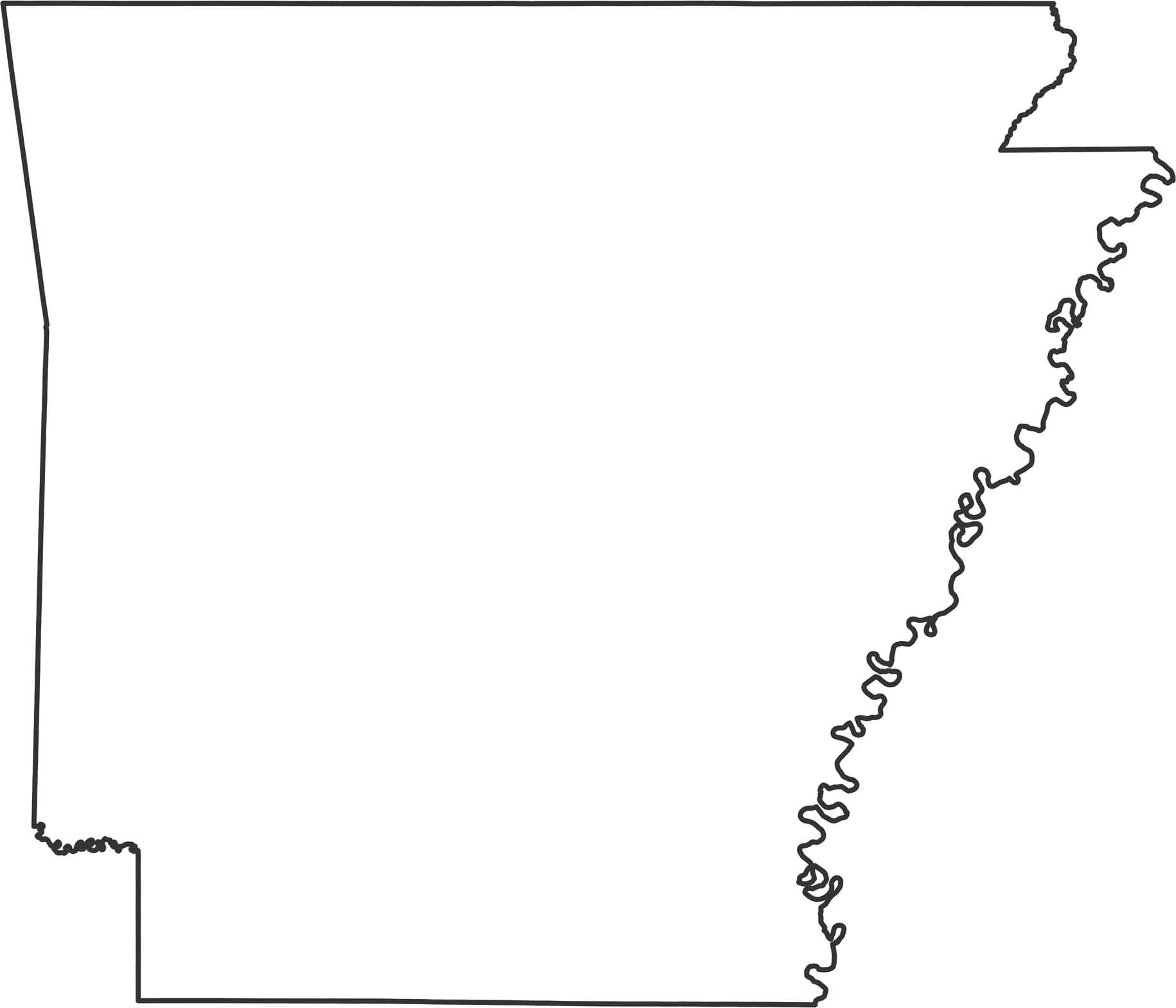
Our outline map of Arkansas shows the Mississippi River creating the entire eastern border with its winding curves. Southern and western edges are mostly straight surveyed lines. Up north, it’s another straight line along the Missouri border.
Map Information
State Outline Maps
Click on a map below to check out outline maps of each state.


Arkansas State Maps
Check out our Arkansas maps here


