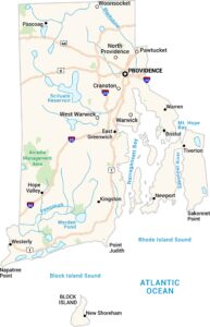
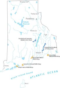
Rhode Island Lakes and Rivers Map
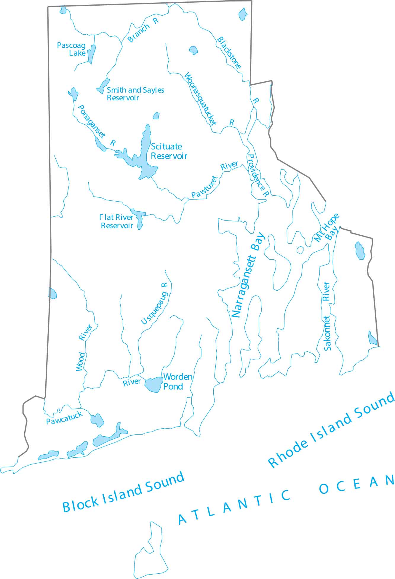
Rhode Island is coastal New England, defined by short rivers and tidal waters. See how Rhode Island’s waterways connect to the bay with our lakes and rivers map. Our map highlights bays, lakes and rivers feeding Narragansett Bay.
Map Information
On the Map
Lakes and Rivers State Maps
Select any state map below to view its lakes and rivers map.


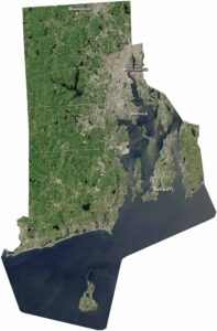
Rhode Island State Maps
Here are our maps of this compact coastal state.