Home » State Maps » New Mexico Population Map

New Mexico Population Map

New Mexico Population Density Map

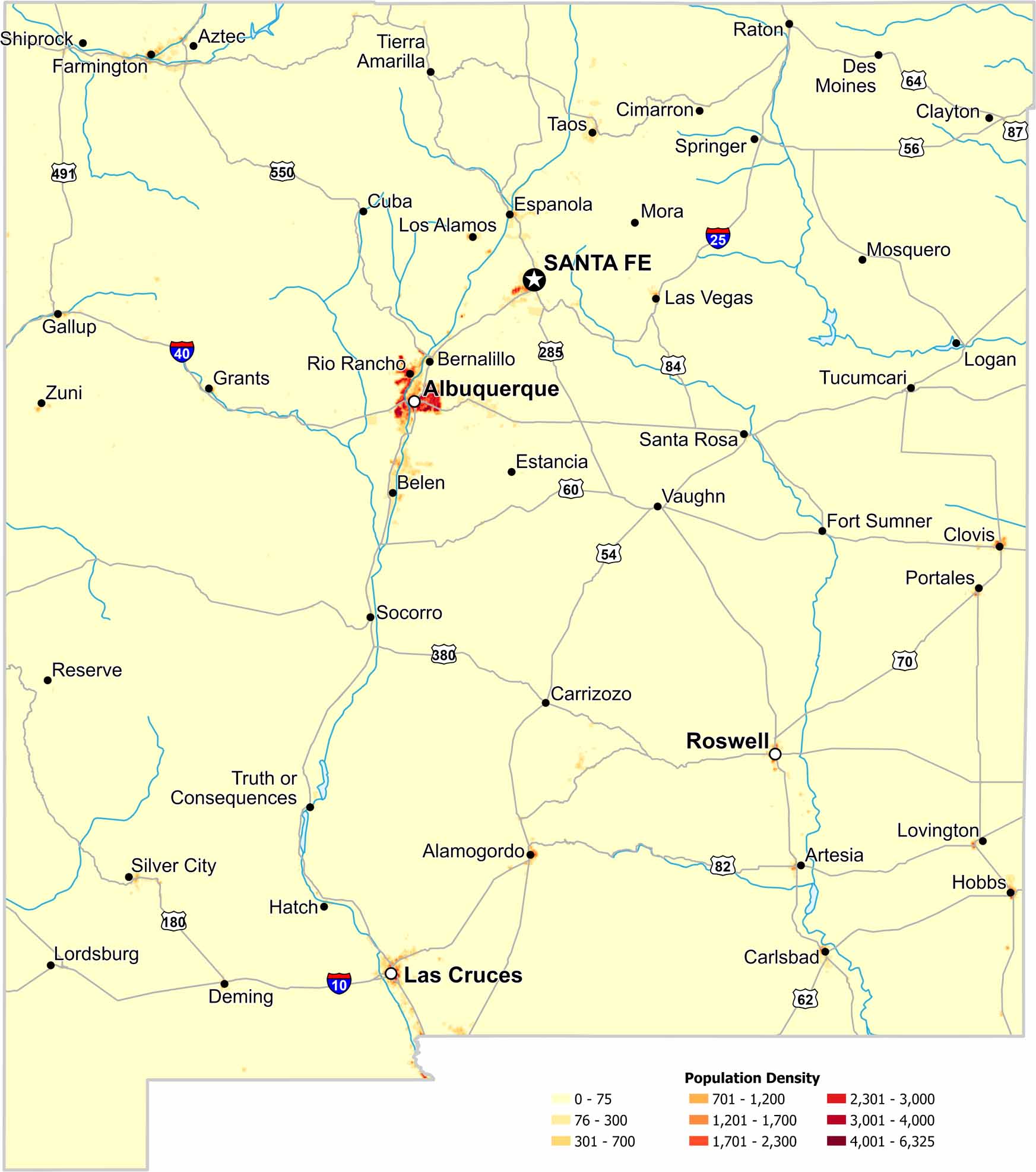
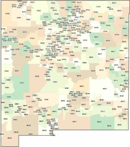
In New Mexico, population clusters around the big cities like Albuquerque, Santa Fe and Las Cruces. Check out our map to see everything from high to low population density areas.

Map Information

  • Population Density Map of New Mexico
  • Data provided by NASA SEDAC Gridded Population of the World
  • Free for personal and commercial purpose. Attribution is required. How to attribute?

On the Map

New Mexico Location Map
State Capital: Santa Fe Major Cities: Albuquerque, Las Cruces, Roswell Cities and Towns: Alamogordo, Artesia, Aztec, Belen, Bernalillo, Carlsbad, Carrizozo, Cimarron, Clayton, Clovis, Cuba, Deming, Des Moines, Espanola, Estancia, Farmington, Fort Sumner, Gallup, Grants, Hatch, Hobbs, Las Vegas, Logan, Lordsburg, Los Alamos, Lovington, Mora, Mosquero, Portales, Raton, Reserve, Rio Rancho, Santa Rosa, Shiprock, Silver City, Socorro, Springer, Taos, Tierra Amarilla, Truth or Consequences, Tucumcari, Vaughn, Zuni Interstate Highways: I-10, I-25, I-40 US Routes: US-54, US-56, US-60, US-62, US-64, US-70, US-80, US-82, US-84, US-87, US-180, US-285, US-380, US-491, US-550

Leave a Reply

Your email address will not be published. Required fields are marked *