South Carolina County Map
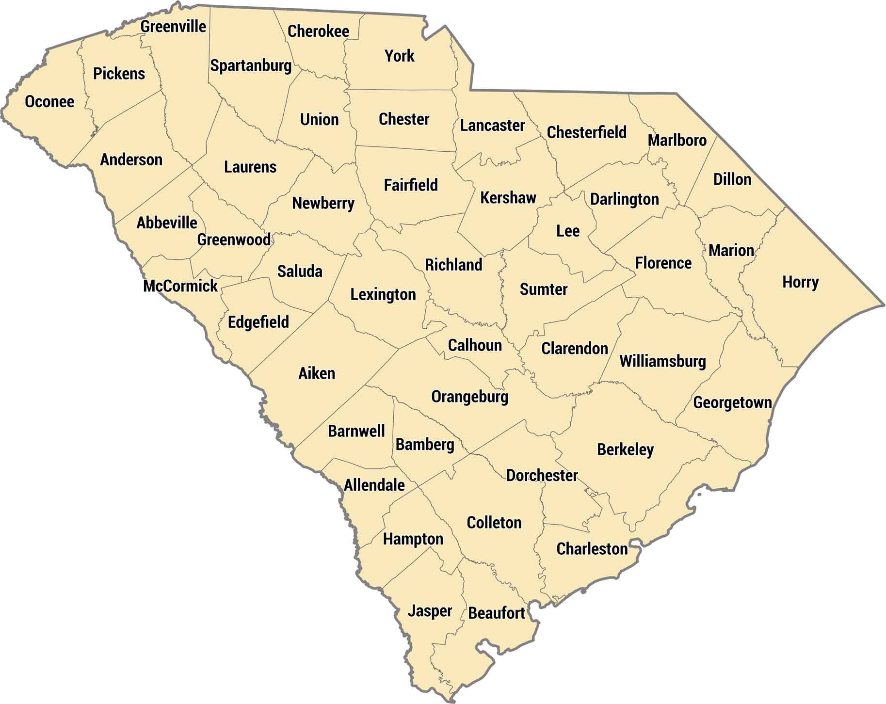
Our South Carolina county map displays 46 counties from the Blue Ridge Mountains to the Atlantic. Lowcountry counties are marshes and sea islands. Charleston County on the coast has history and beaches, while upstate counties like Greenville are growing fast.
Map Information
On the Map
Our table below provides you with population, area, and FIPS code for each county.
|
Name |
Population 2024 |
Total Area (sq mi) |
FIPS Code |
|
Abbeville County |
24,607 |
512 |
45-001 |
|
Aiken County |
179,245 |
1,080.10 |
45-003 |
|
Allendale County |
7,551 |
412.4 |
45-005 |
|
Anderson County |
217,183 |
755.7 |
45-007 |
|
Bamberg County |
12,870 |
395.6 |
45-009 |
|
Barnwell County |
20,495 |
557.3 |
45-011 |
|
Beaufort County |
201,775 |
923.5 |
45-013 |
|
Berkeley County |
264,276 |
1,233.90 |
45-015 |
|
Calhoun County |
14,249 |
392.5 |
45-017 |
|
Charleston County |
431,001 |
1,358.00 |
45-019 |
|
Cherokee County |
57,770 |
397.9 |
45-021 |
|
Chester County |
32,323 |
586.2 |
45-023 |
|
Chesterfield County |
44,488 |
805.6 |
45-025 |
|
Clarendon County |
31,030 |
695.7 |
45-027 |
|
Colleton County |
39,259 |
1,133.30 |
45-029 |
|
Darlington County |
62,425 |
566.3 |
45-031 |
|
Dillon County |
27,577 |
406.8 |
45-033 |
|
Dorchester County |
174,663 |
571.2 |
45-035 |
|
Edgefield County |
29,455 |
507.1 |
45-037 |
|
Fairfield County |
20,369 |
709.9 |
45-039 |
|
Florence County |
138,049 |
804.3 |
45-041 |
|
Georgetown County |
66,035 |
1,035.20 |
45-043 |
|
Greenville County |
570,745 |
794.8 |
45-045 |
|
Greenwood County |
70,041 |
462.9 |
45-047 |
|
Hampton County |
18,172 |
562.7 |
45-049 |
|
Horry County |
413,391 |
1,254.40 |
45-051 |
|
Jasper County |
35,618 |
701.6 |
45-053 |
|
Kershaw County |
71,698 |
740.3 |
45-055 |
|
Lancaster County |
111,652 |
555 |
45-057 |
|
Laurens County |
70,545 |
723.8 |
45-059 |
|
Lee County |
15,958 |
411.2 |
45-061 |
|
Lexington County |
313,774 |
757.6 |
45-063 |
|
McCormick County |
9,983 |
393.9 |
45-065 |
|
Marion County |
28,368 |
494.2 |
45-067 |
|
Marlboro County |
25,498 |
485.5 |
45-069 |
|
Newberry County |
39,203 |
647.3 |
45-071 |
|
Oconee County |
82,475 |
673.6 |
45-073 |
|
Orangeburg County |
83,129 |
1,127.90 |
45-075 |
|
Pickens County |
138,207 |
512.6 |
45-077 |
|
Richland County |
430,651 |
771.9 |
45-079 |
|
Saluda County |
19,452 |
461.9 |
45-081 |
|
Spartanburg County |
369,256 |
819 |
45-083 |
|
Sumter County |
104,776 |
682.1 |
45-085 |
|
Union County |
26,678 |
516 |
45-087 |
|
Williamsburg County |
29,865 |
937 |
45-089 |
|
York County |
303,001 |
695.8 |
45-091 |
South Carolina State Maps
Explore maps across the Palmetto State.


State County Maps
Click on a map below to check out county maps of each state.


