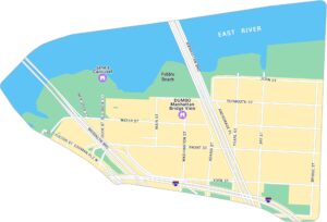
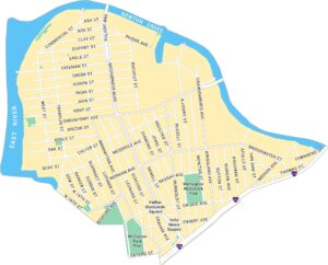
Brooklyn Heights Map, New York
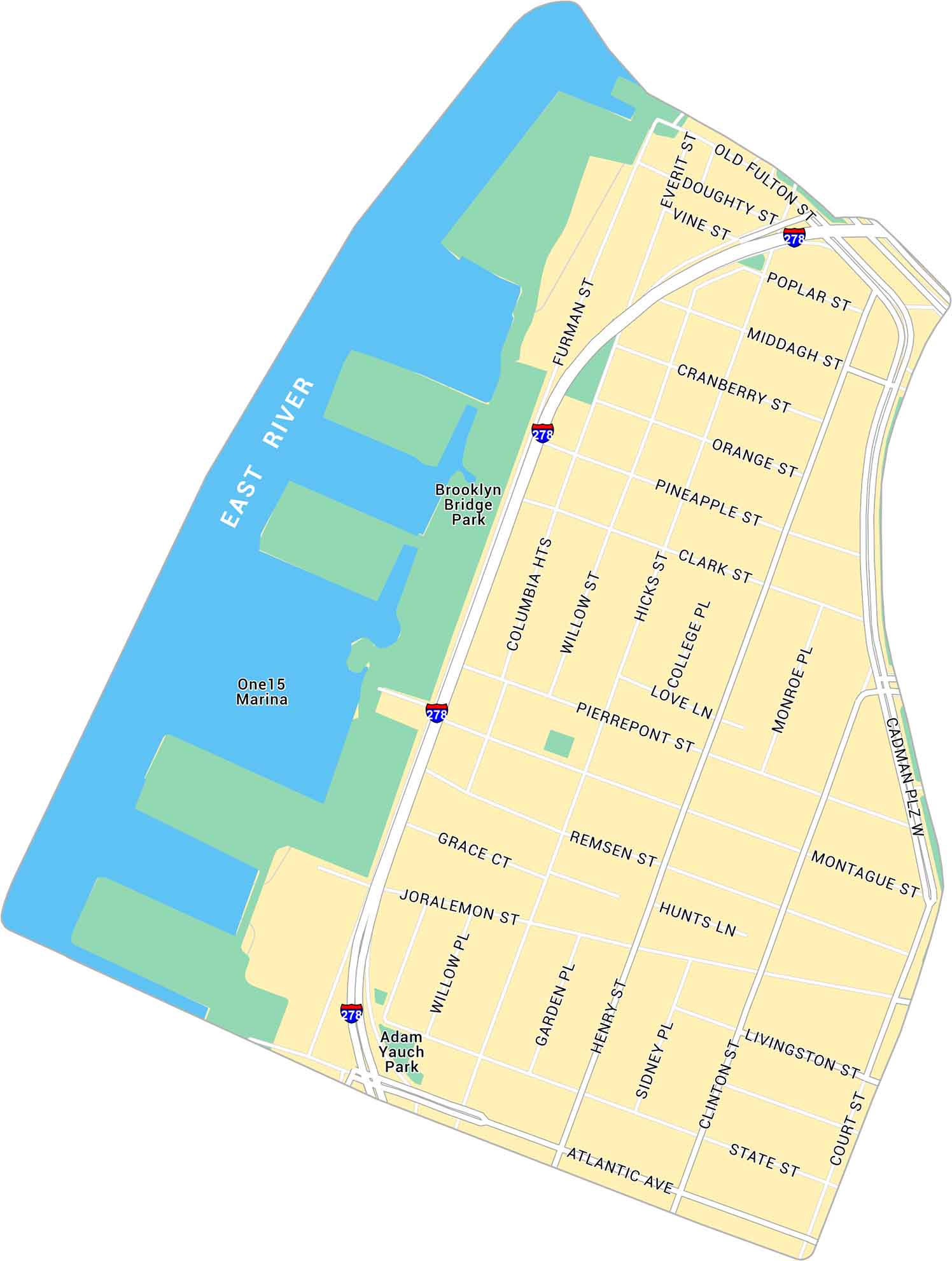
Here’s our map of Brooklyn Heights, situated along the East River. It includes Interstate 278, Brooklyn Bridge Park and easy routes to Downtown Brooklyn and Dumbo.
Map Information
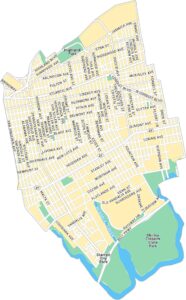
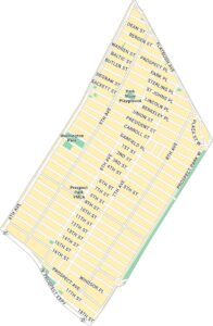
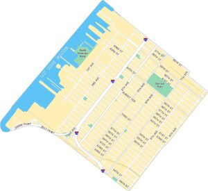
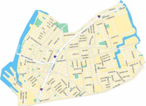
Brooklyn Neighborhood Maps
See our neighborhood maps for a closer look of the city.
On the Map
Interstates/Highways: I-278 Major Roads: Atlantic Ave, Cadman Plz W, Furman St, Hicks St, Henry St, Clinton St, Court St, Montague St, Joralemon St, Pierrepont St, Remsen St, State St, Livingston St, Old Fulton St, Poplar St, Middagh St, Orange St, Pineapple St, Clark St, Willow St Major Rivers: East River Parks: Brooklyn Bridge Park, Adam Yauch Park Landmarks: One15 MarinaCity Maps of New York
Here are the city maps that define New York


