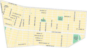
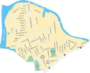
Bushwick Map, New York
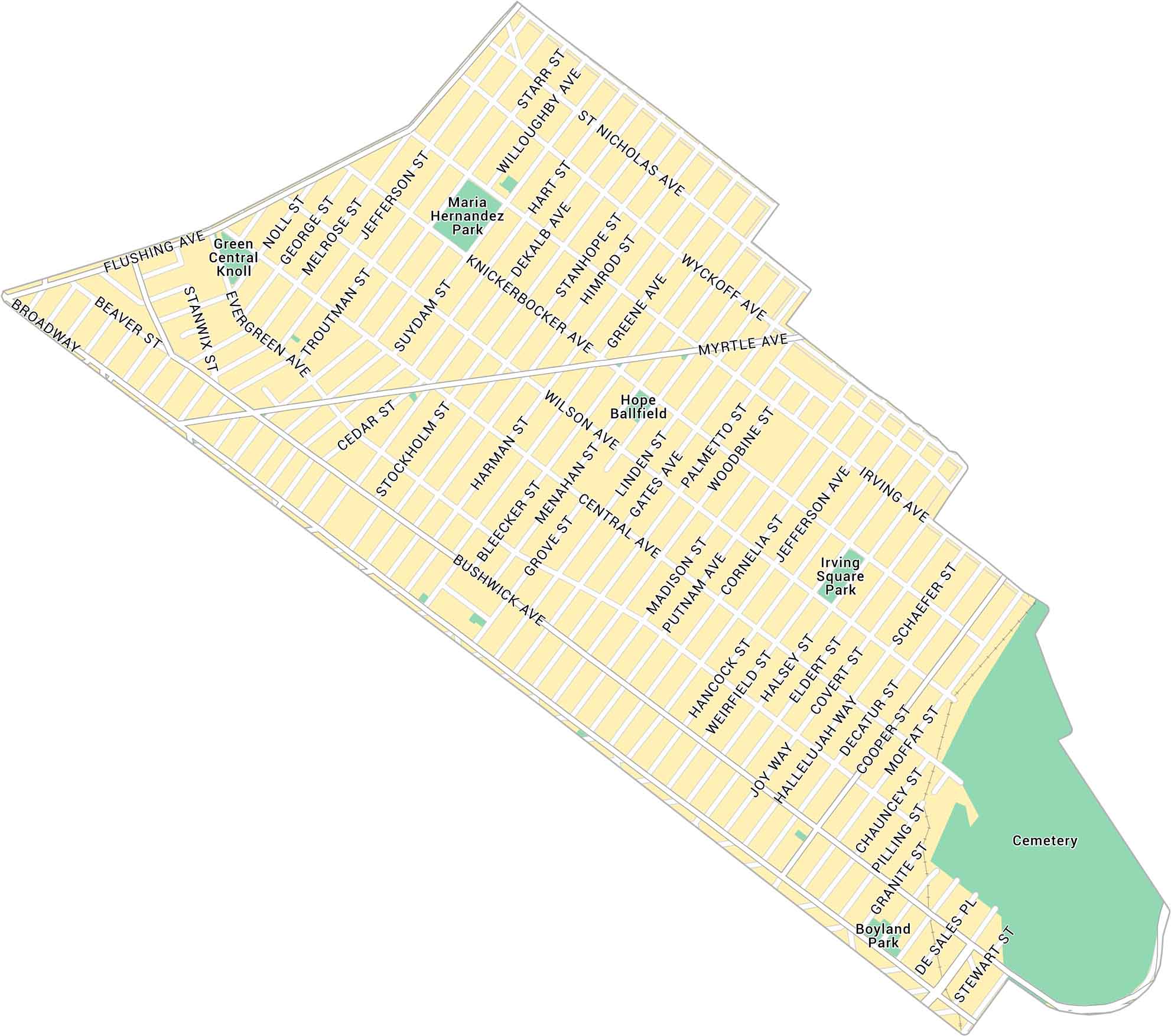
Our map of Bushwick shows its network of streets across this creative stretch of northern Brooklyn. It includes local parks and roads connecting to the rest of the area.
Map Information
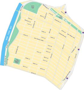
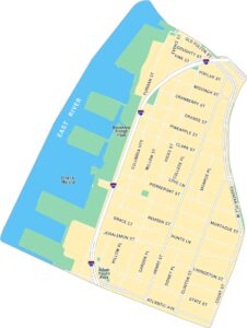
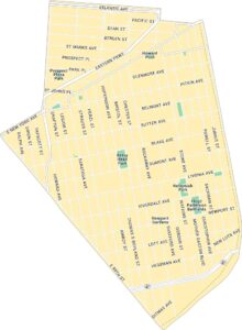
Brooklyn Neighborhood Maps
See our neighborhood maps for a closer look of the city.
On the Map
Major Roads: Bushwick Ave, Myrtle Ave, Broadway, Flushing Ave, Wyckoff Ave, Knickerbocker Ave, Central Ave, Wilson Ave, Irving Ave, Dekalb Ave, Evergreen Ave, Stanhope St, Himrod St, Greene Ave, Gates Ave, Linden St, Palmetto St, Halsey St, Schaefer St, Granite St Parks: Maria Hernandez Park, Irving Square Park, Boyland Park Landmarks: Green Central Knoll, Hope Ballfield, CemeteryCity Maps of New York
Here are the city maps that define New York


