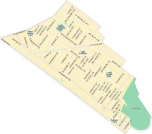
Map of Brooklyn Borough, New York
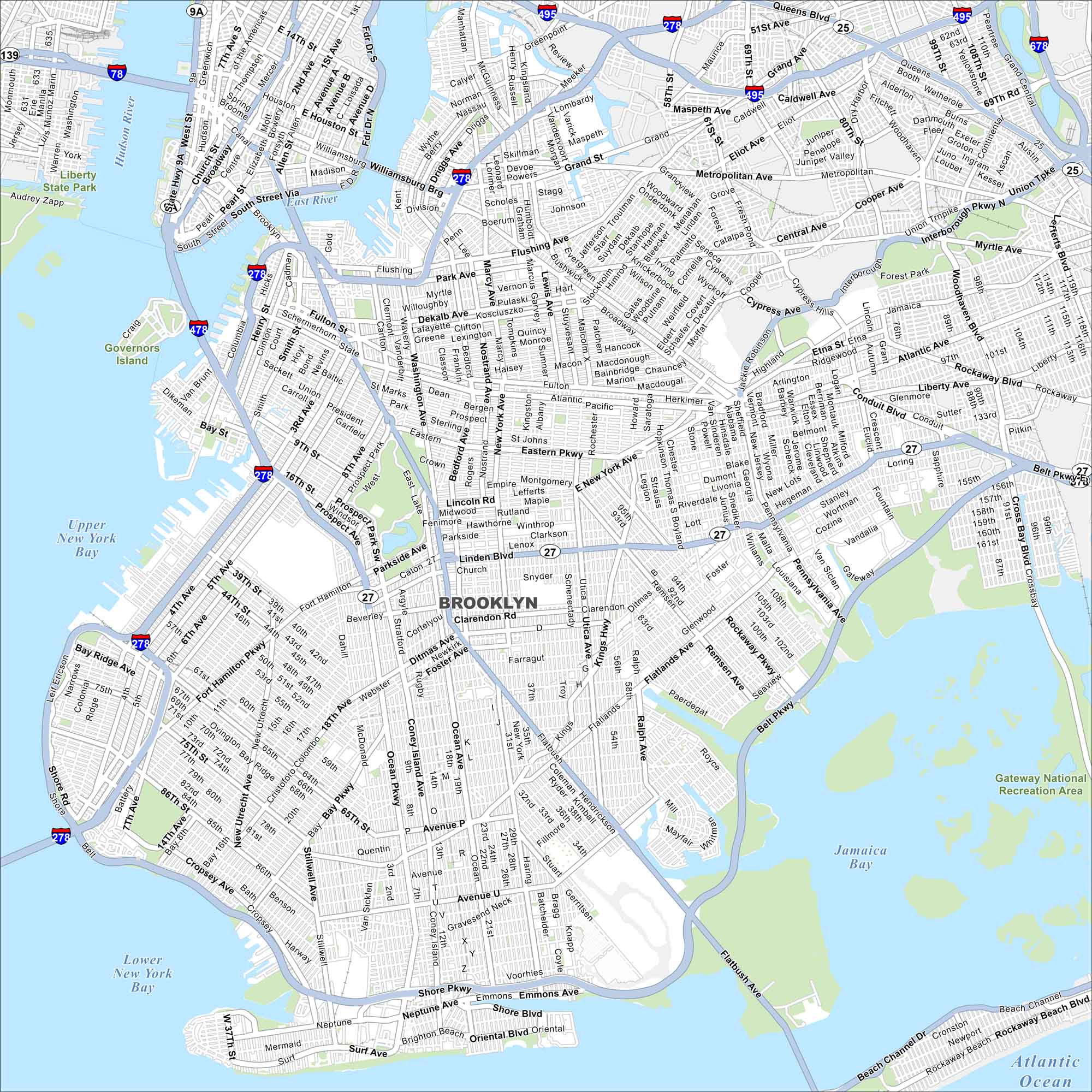
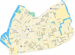
Our Brooklyn map highlights a borough that never sits still. You’ll see its streets stretching from the East River to Coney Island’s shore. Each neighborhood such as Williamsburg, Park Slope, Dumbo brings its own rhythm.
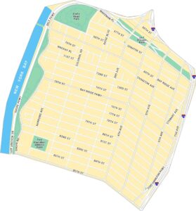
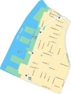
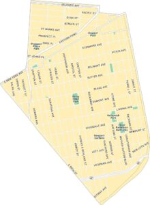
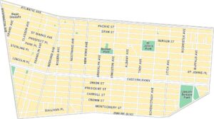
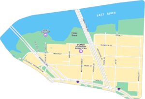
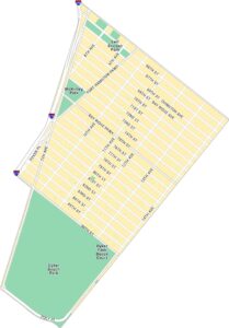
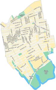
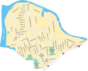
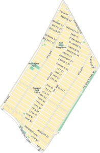
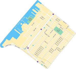
Brooklyn Neighborhood Maps
See our neighborhood maps for a closer look of the city.
Map Information
On the Map
Interstates/Highways: I-278, I-478, I-495, I-678, State Rte 27, State Rte 25 Major Roads: Belt Pkwy, Atlantic Ave, Flatbush Ave, Ocean Pkwy, Eastern Pkwy, Shore Pkwy, Brooklyn Queens Expwy, Linden Blvd, Pennsylvania Ave, Conduit Blvd, Fourth Ave, Fifth Ave, 86th St, Bay Pkwy, Kings Hwy, Bedford Ave, Nostrand Ave, Broadway, Bushwick Ave, Metropolitan Ave Lakes and Reservoirs: Upper New York Bay, Lower New York Bay, Jamaica Bay, Atlantic Ocean Major Rivers: East River, Hudson River Parks and Preserves: Gateway National Recreation Area, Liberty State ParkNew York State Maps
Find state maps of the Empire State.


City Maps of New York
Here are the city maps that define New York


