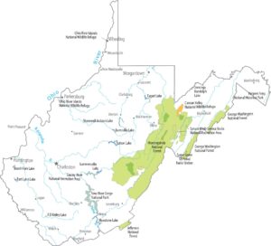
West Virginia Precipitation Map
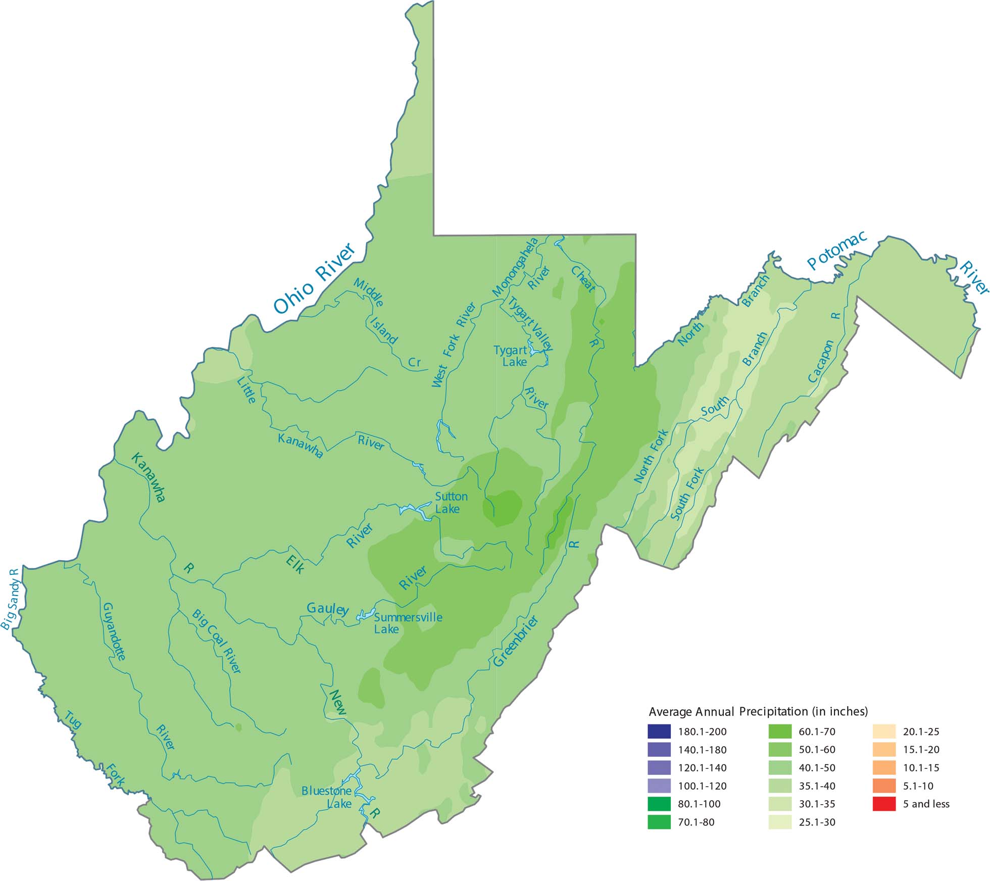
West Virginia has mountainous terrain. This makes it one of the wettest states east of the Mississippi. All those Appalachian ridges force moisture upward from Gulf and Atlantic air masses. Our precipitation map of West Virginia reflects how the ridges appear wetter.
Map Information
State Precipitation Maps
Select any state map below to view its precipitation map.


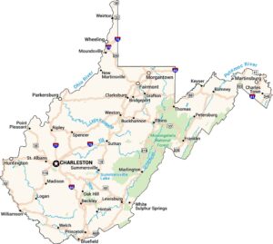
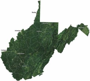
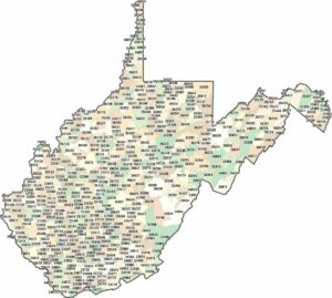
West Virginia State Maps
Browse our maps of the state of West Virginia.