La Brea Tar Pits Map
Our map of the La Brea Tar Pits lays out the park paths, museum area, and streets. We’ve also mapped the green spaces around the pits.
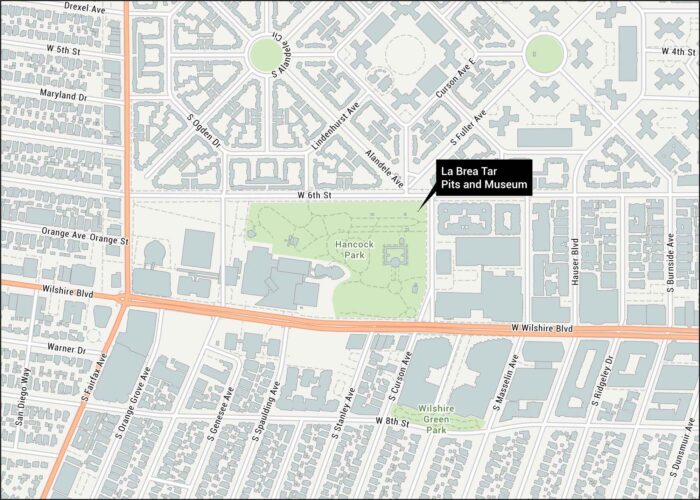
Our map of the La Brea Tar Pits lays out the park paths, museum area, and streets. We’ve also mapped the green spaces around the pits.
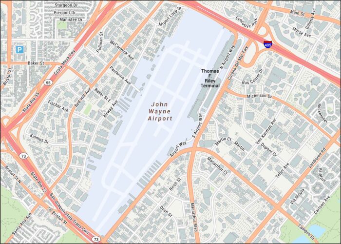
Take a look at John Wayne Airport to see the main roads, terminals, and runway layout. Our map keeps things simple with highways and suburbs.
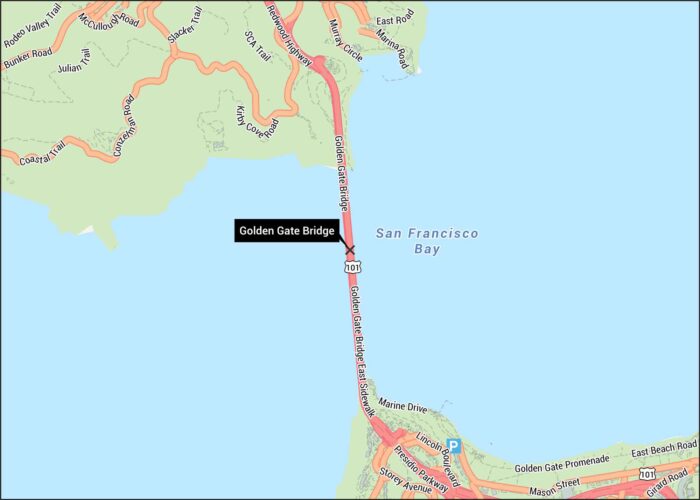
Behold. The Golden Gate Bridge spans the strait between San Francisco and Marin. Our Golden Gate Bridge map shows highways, roads, and paths.
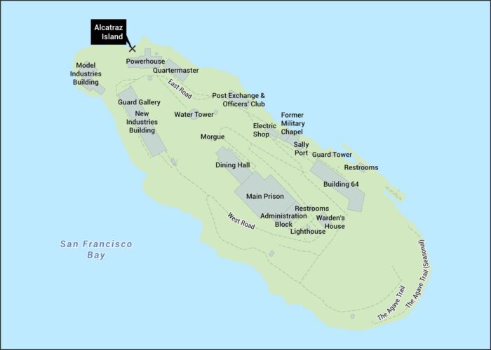
Our map of Alcatraz shows the island’s layout in San Francisco Bay. It includes the cell house, dining hall, and walking paths.
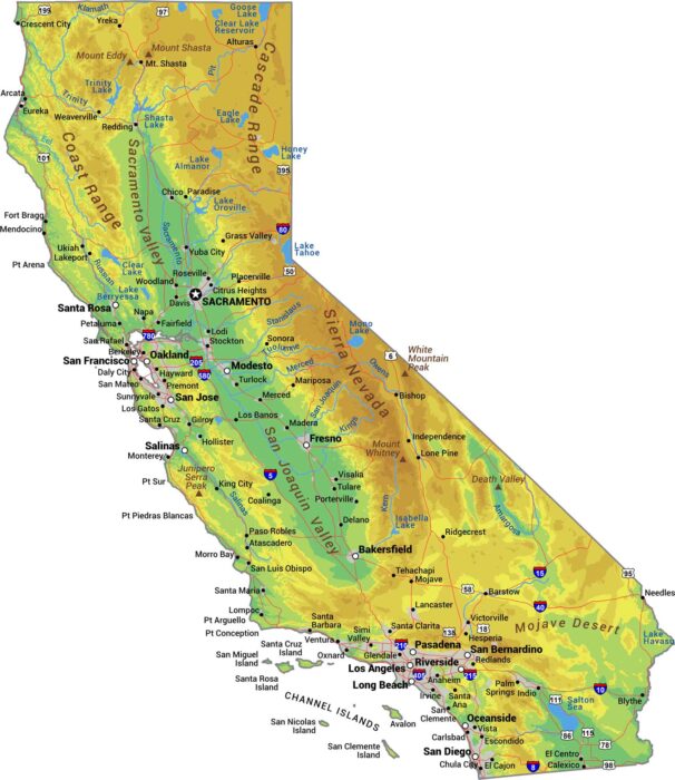
No state packs more variety than California. The Sierra Nevada mountains wall off the east while the coastal ranges hug the Pacific Ocean.
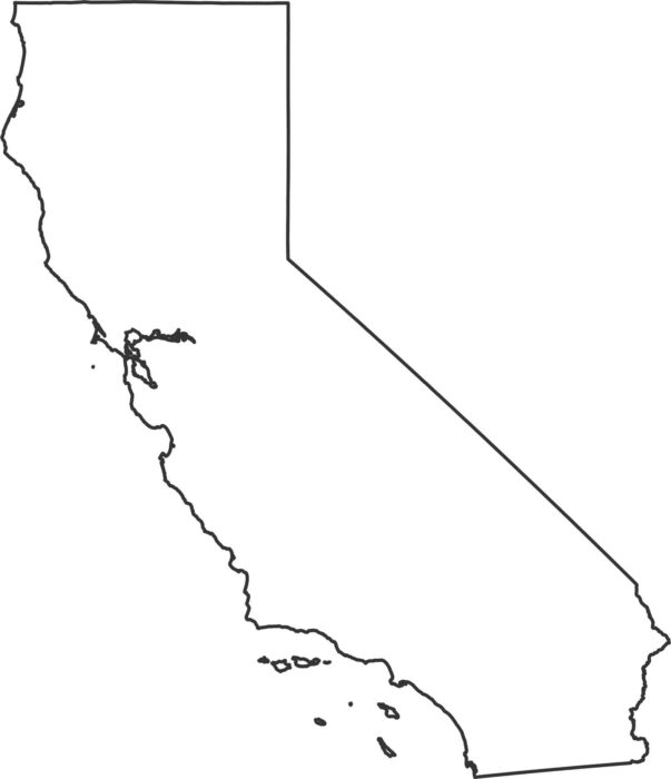
Our California outline map shows over 800 miles of Pacific coastline running down the entire western edge.
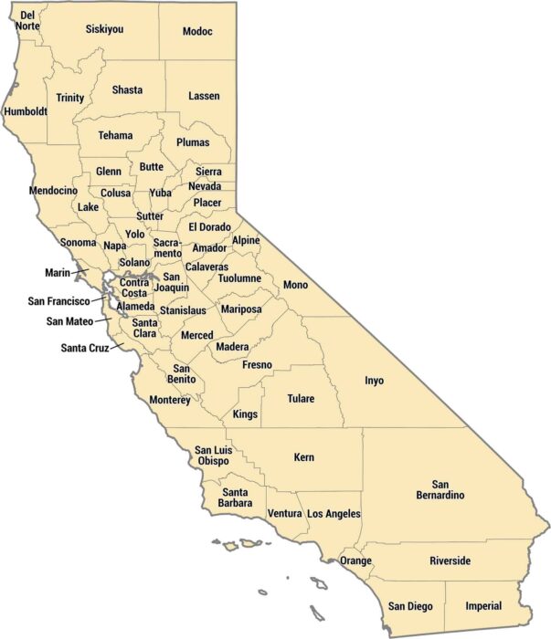
California has 58 counties ranging from tiny Alpine to massive San Bernardino. The coastal counties pack in millions of people.
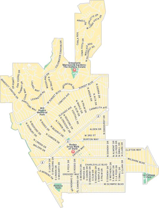
Here’s our map of Beverly Hills, the glamorous pocket west of Los Angeles. It lays out Rodeo Drive, Sunset Boulevard, and its roads.
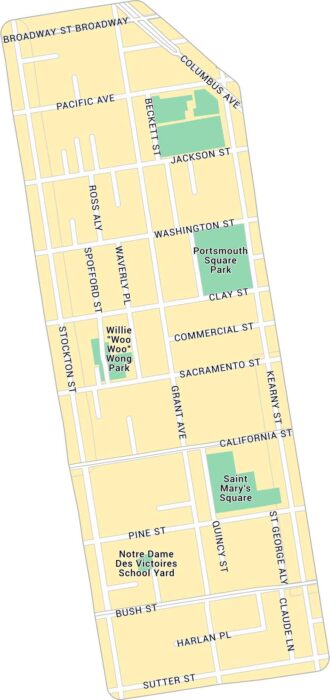
Our map of Chinatown in San Francisco highlights the narrow streets. It shows main routes and local parks.
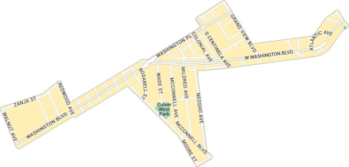
Our map of Culver West shows the streets and parks tucked into the west side of Culver City. It includes neighborhood roads and green spaces.
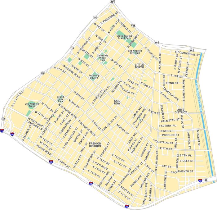
Our map of Downtown Los Angeles shows this big, loud center of LA. It includes the main roads, parks, and streets to the Arts District.
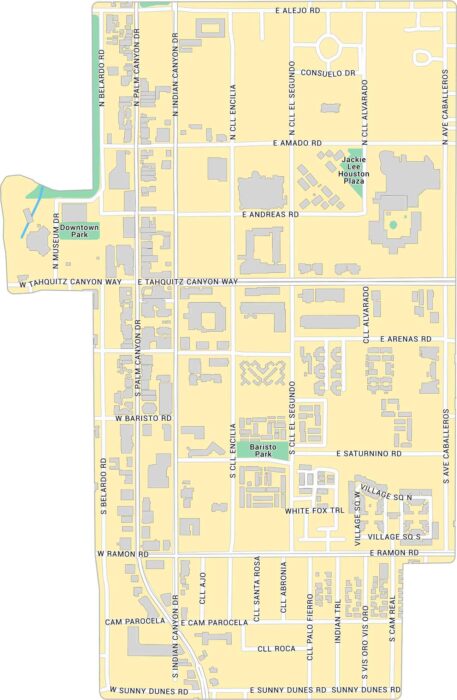
Explore Downtown Palm Springs with our map, showing the main strip along Palm Canyon Drive. It outlines streets, parks, and buildings.
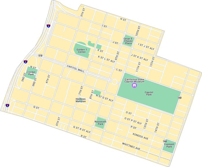
Explore Downtown Sacramento with our map, which shows the stretch between the river and Capitol Park. Follow its parks and routes.
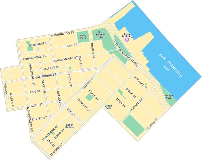
Our map of Downtown San Francisco shows the city’s core. It stretches from Market to Washington Street. We show its streets, parks, etc.
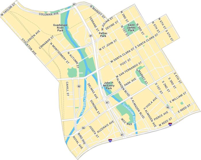
Our map of Downtown San Jose shows the city’s center with the Guadalupe River flowing through it. It lays out main roads, parks, and rail.