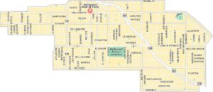
Downtown Los Angeles Map
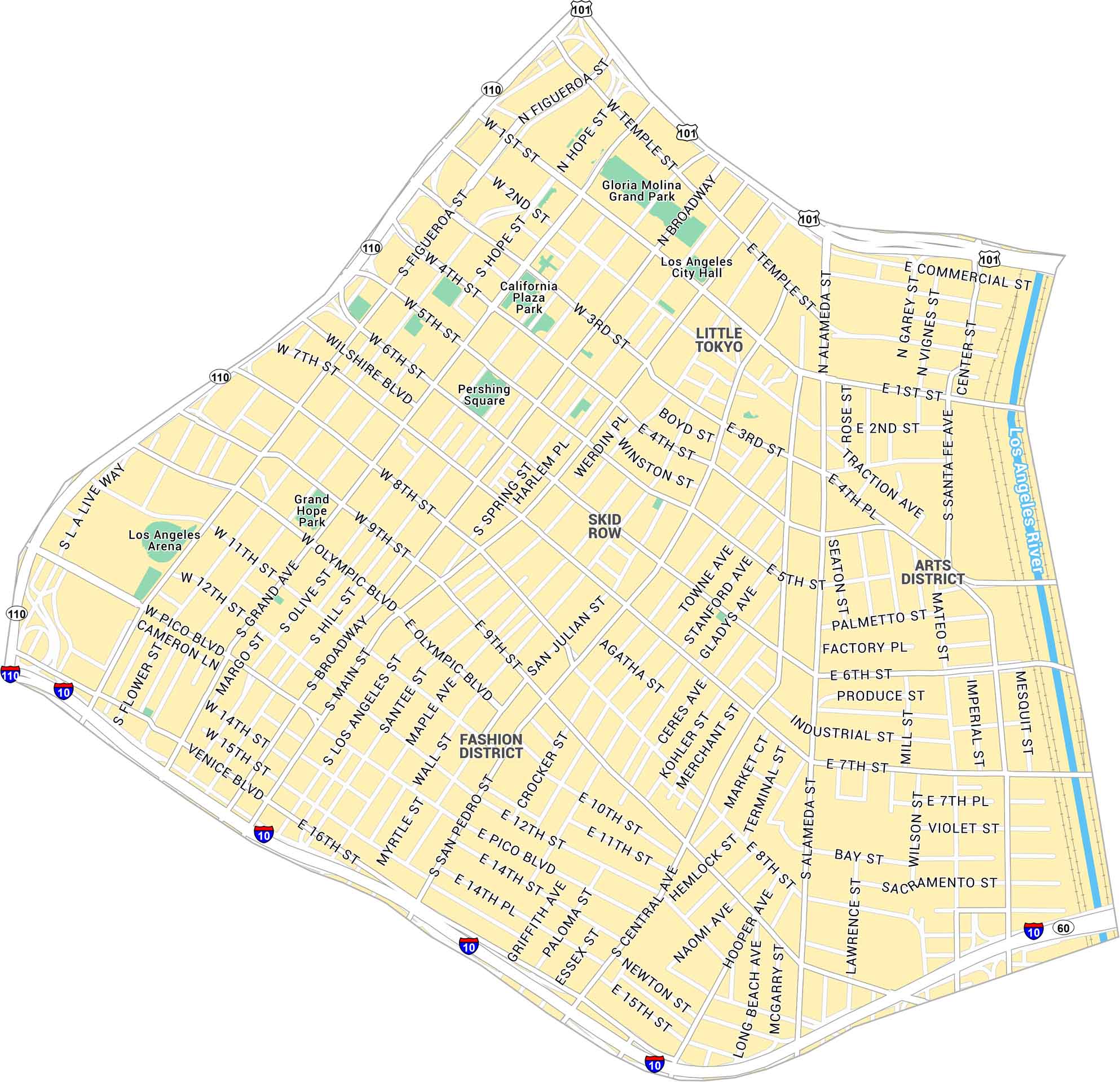
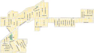
Our map of Downtown Los Angeles shows this big, loud center that feels alive every hour of the day. It includes the main roads, parks, and the stretch that runs into the Arts District.
Map Information
On the Map
Interstates/Highways: I-10, I-110, US Hwy 101, State Rte 60 Major Roads: Figueroa St, Broadway, Main St, Spring St, Grand Ave, Olive St, Hill St, Los Angeles St, Wilshire Blvd, Olympic Blvd, Pico Blvd, Venice Blvd, Washington Blvd, Alameda St, Central Ave, San Pedro St, 1st St, 2nd St, 3rd St, 7th St Major Rivers: Los Angeles River Parks: Gloria Molina Grand Park, Pershing Square, California Plaza Park, Grand Hope Park Neighborhoods: Los Angeles RiverLos Angeles Neighborhood Maps
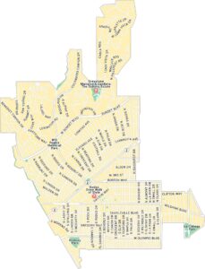
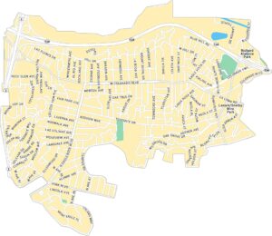
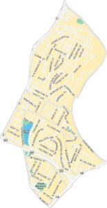
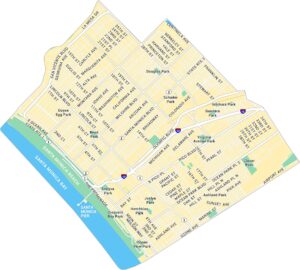
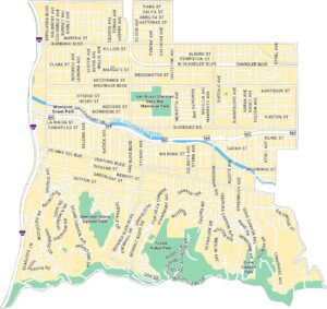
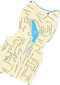
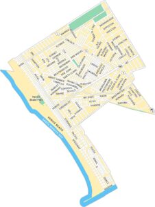
See our neighborhood maps for a closer look of the city.
California City Maps
Here are detailed maps of California


