Downtown Palm Springs Map
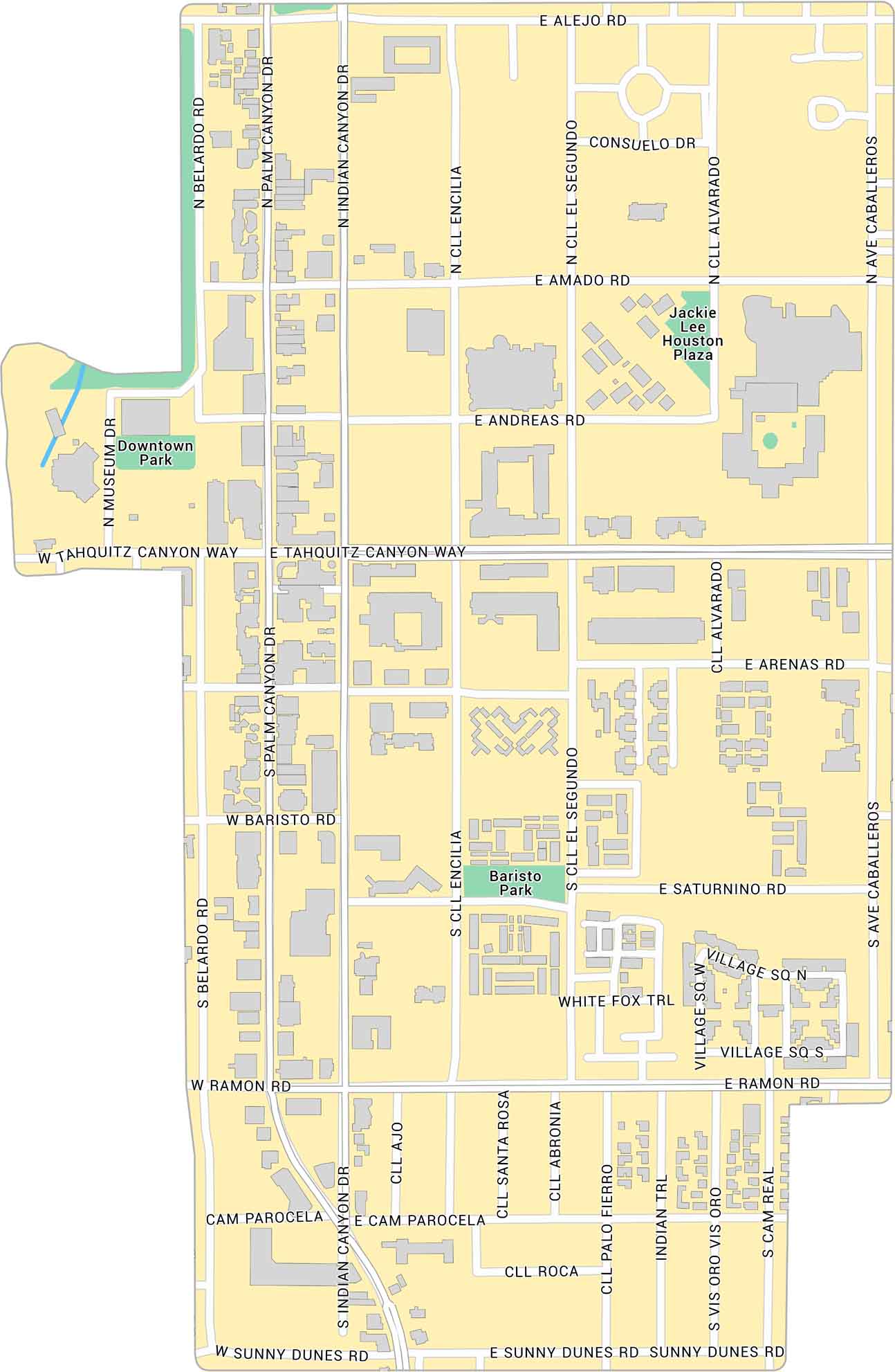
Explore Downtown Palm Springs with our map, showing the main strip along Palm Canyon Drive. It outlines streets, parks, and buildings. It’s an open downtown set against the desert backdrop.
Map Information
On the Map
Major Roads: Palm Canyon Dr, Indian Canyon Dr, Tahquitz Canyon Way, Ramon Rd, Sunny Dunes Rd, Alejo Rd, Amado Rd, Andreas Rd, Arenas Rd, Baristo Rd, Belardo Rd, Ave Caballeros, Cll Encilia, Cll El Segundo, Cll Alvarado, Saturnino Rd, Cam Parocela, Museum Dr, Consuelo Dr, White Fox Trl Parks: Downtown Park, Baristo Park, Jackie Lee Houston PlazaCalifornia City Maps
Here are detailed maps of California


