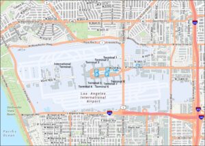
John Wayne Airport Map
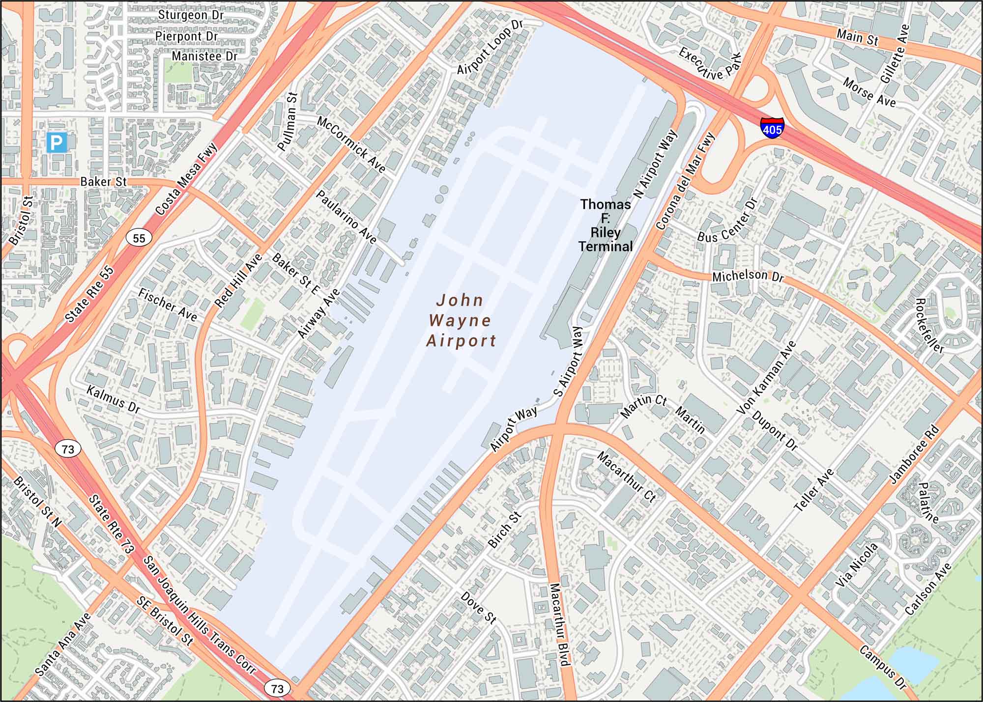
Take a look at John Wayne Airport to see the main roads, terminals, and runway layout. Our map keeps things simple with nearby highways and surrounding suburbs. The airport sits in Orange County, known for its access to the coast.
Map Information
On the Map
Interstates/Highways: I-405, State Rte 55, State Rte 73 Major Roads: MacArthur Blvd, Costa Mesa Fwy, Corona del Mar Fwy, San Joaquin Hills Trans Corr, Red Hill Ave, Main St, Jamboree Rd, Campus Dr, Bristol St, Baker St, Paularino Ave, Airway Ave, Airport Way, N Airport Way, S Airport Way, Airport Loop Dr, Michelson Dr, Von Karman Ave, Dupont Dr, Birch St Other Landmarks: Thomas F. Riley Terminal, Executive ParkTourist Maps in California
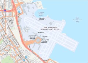
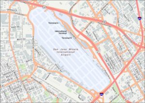
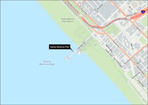
Discover all the prime locations with our tourist maps.