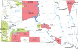
South Dakota Population Map
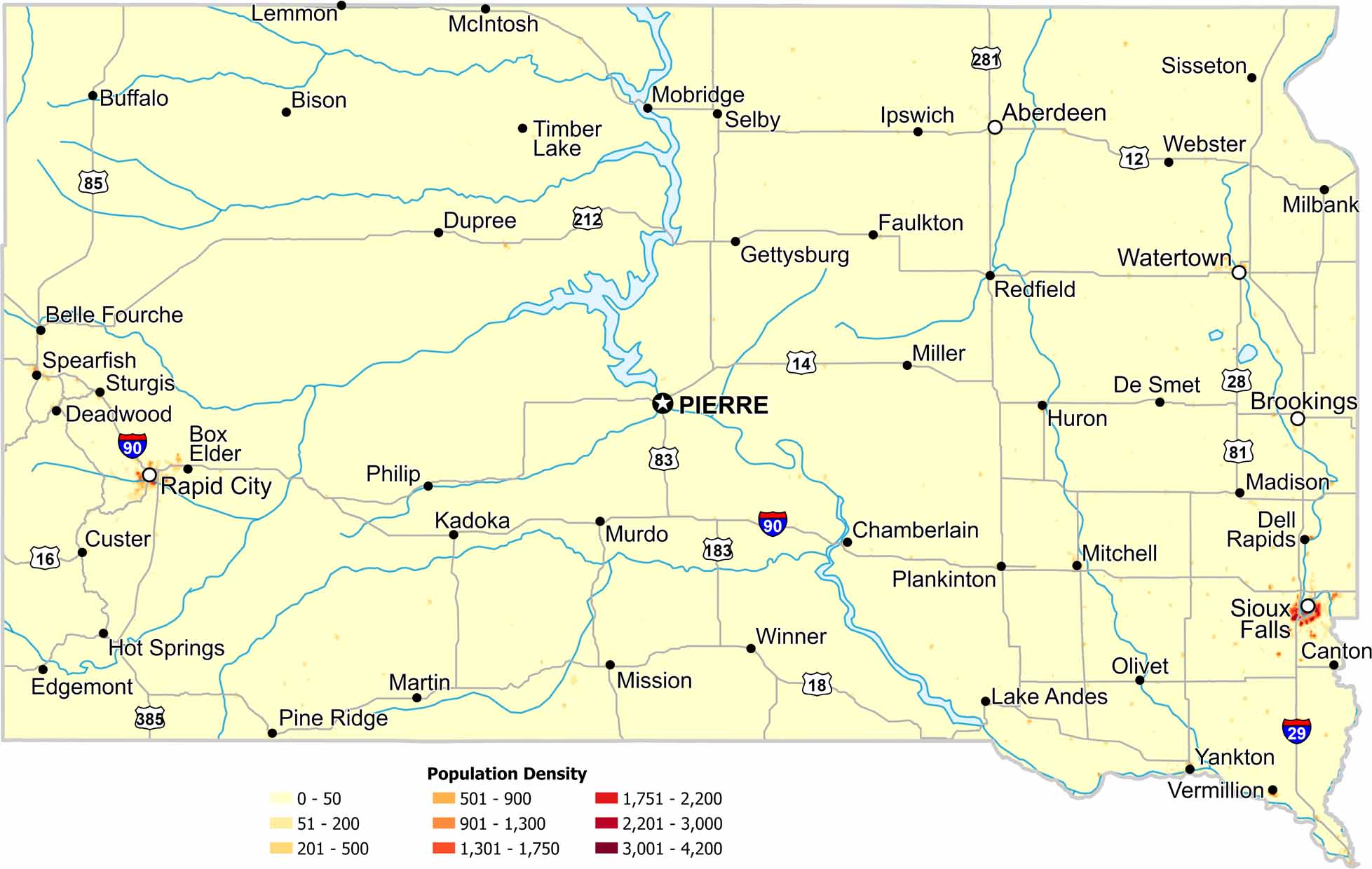
Most of South Dakota shows very low population density. Cities appear as small, isolated clusters. Our map highlights how agriculture dominates much of the landscape.
Map Information
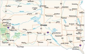
On the Map
South Dakota State Maps
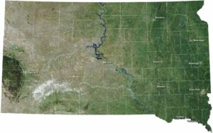
View maps from the prairies to the Black Hills.


State Population Maps
Select any state map below to view its population density map.


