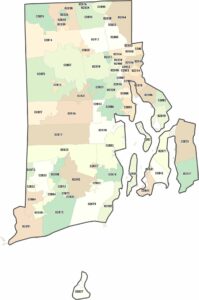
Rhode Island Counties and Cities Map
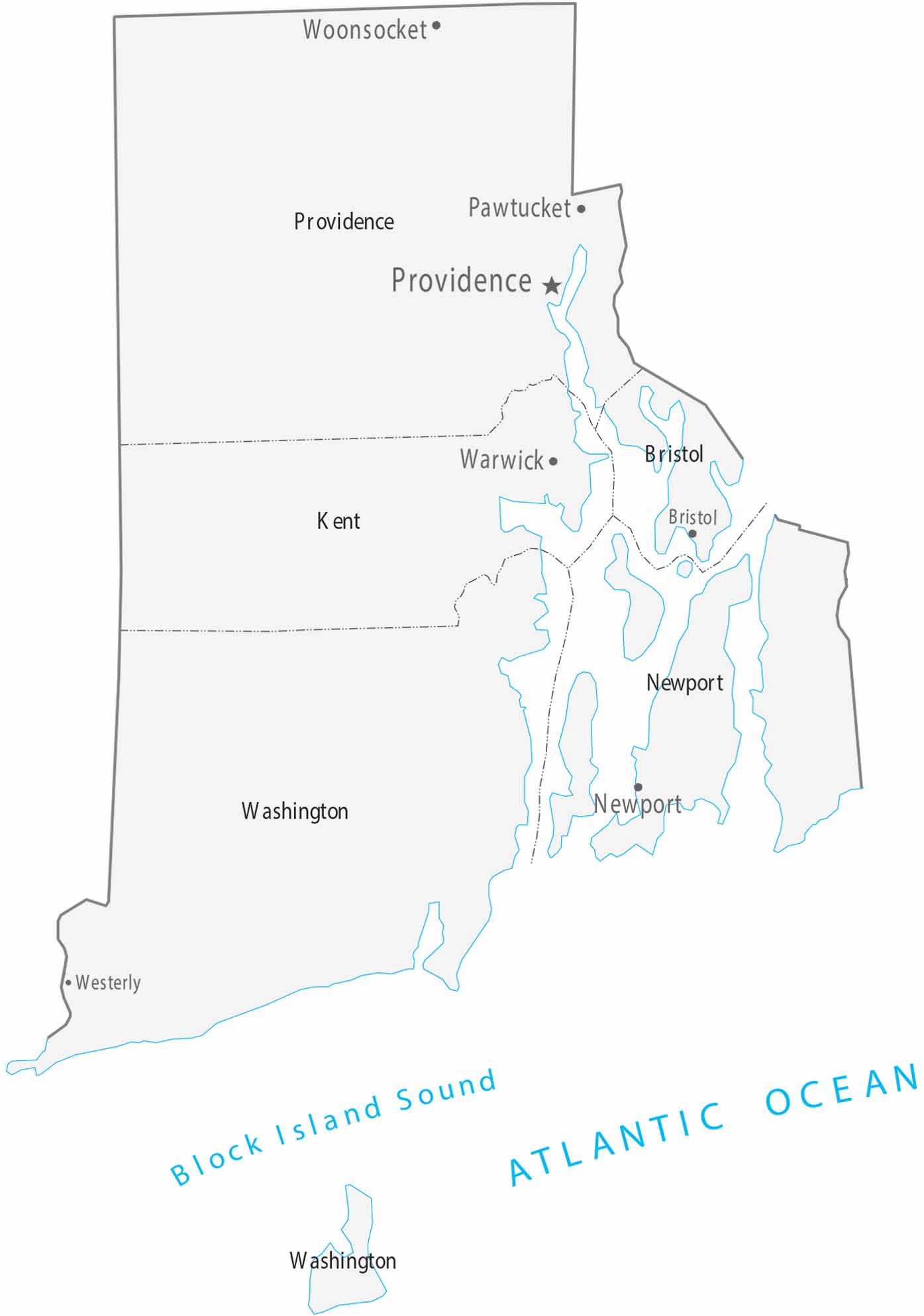
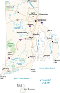
Our map of Rhode Island is the smallest in the series, containing just five counties. Providence is the capital and largest city, surrounding Narragansett Bay. Our map displays very small counties tightly packed together in a neat little package we call Rhode Island.
Map Information
On the Map
|
FIPS Code |
Name |
Total Area (sq mi) |
Population 2024 |
|
44-001 |
Bristol County |
44.7 |
50,145 |
|
44-003 |
Kent County |
188.1 |
172,450 |
|
44-005 |
Newport County |
313.6 |
83,468 |
|
44-007 |
Providence County |
435.7 |
675,912 |
|
44-009 |
Washington County |
562.8 |
130,333 |
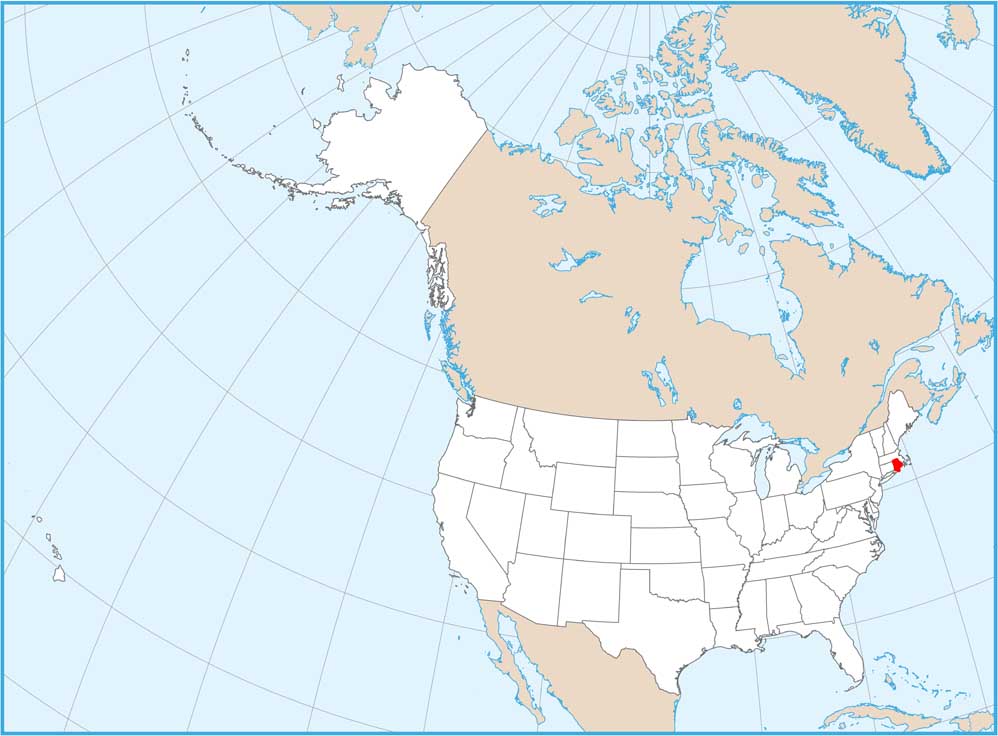
Counties and Cities Maps
Select any state map below to view its counties and cities map.


Rhode Island State Maps
Here are our maps of this compact coastal state.