Oregon Population Map
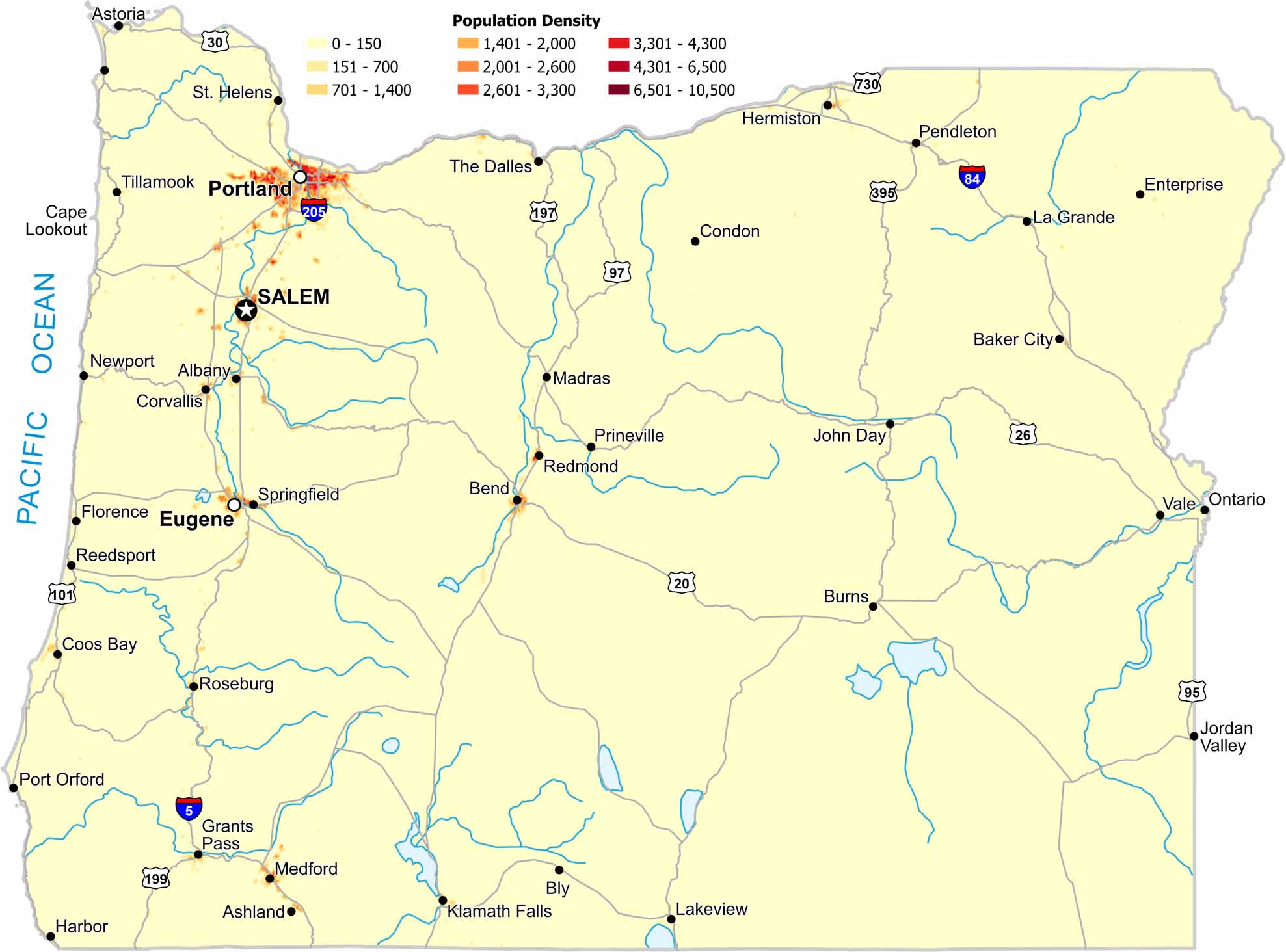
Most people in Oregon live west of the Cascade Range. Our population density map of Oregon shows very sparse density east of the mountains. Cities cluster in lowland valleys and near waterways.
Map Information
On the Map
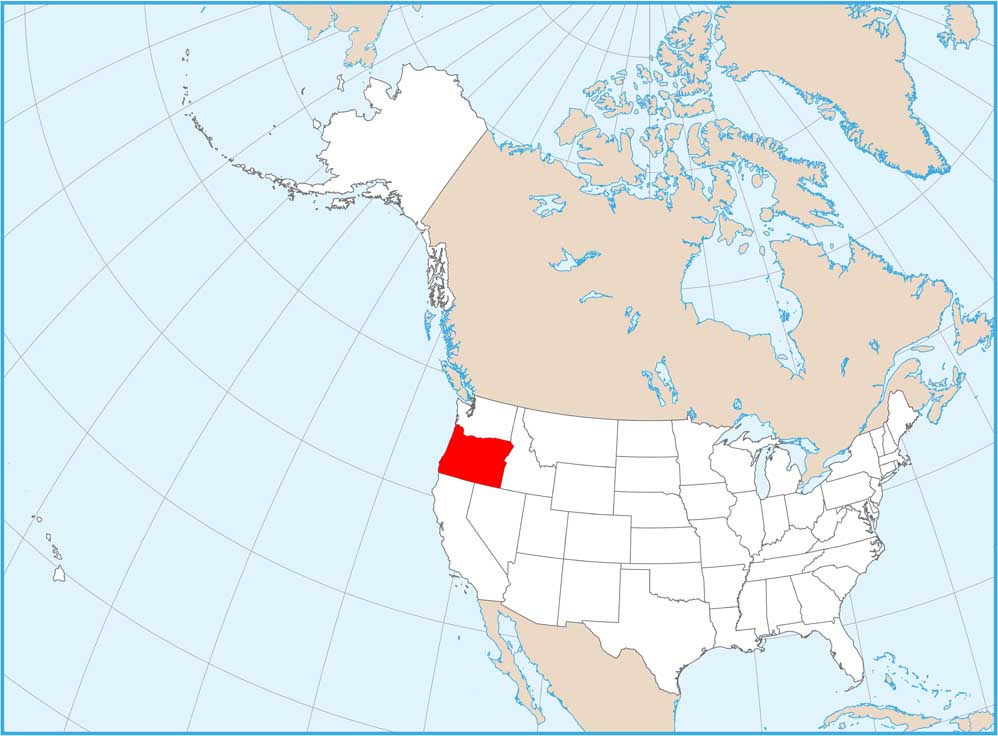
Oregon State Maps
Here is our state map collection of Oregon.


State Population Maps
Select any state map below to view its population density map.


