Oregon Outline Map
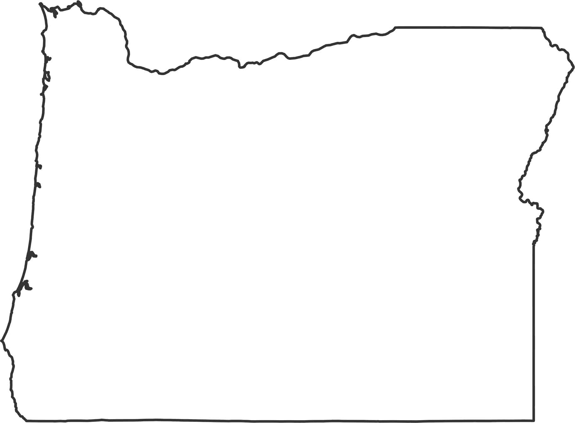
Oregon’s outline combines a Pacific coastline with angled inland borders. The western side follows bays and cliffs, while the east stays mostly straight. Our outline map of Oregon shows its shape and borders with a think black line.
Map Information
State Outline Maps
Click on a map below to check out outline maps of each state.


Oregon State Maps
Here is our state map collection of Oregon.


