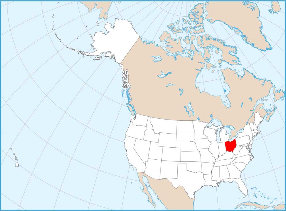
Ohio National Parks and Forests Map
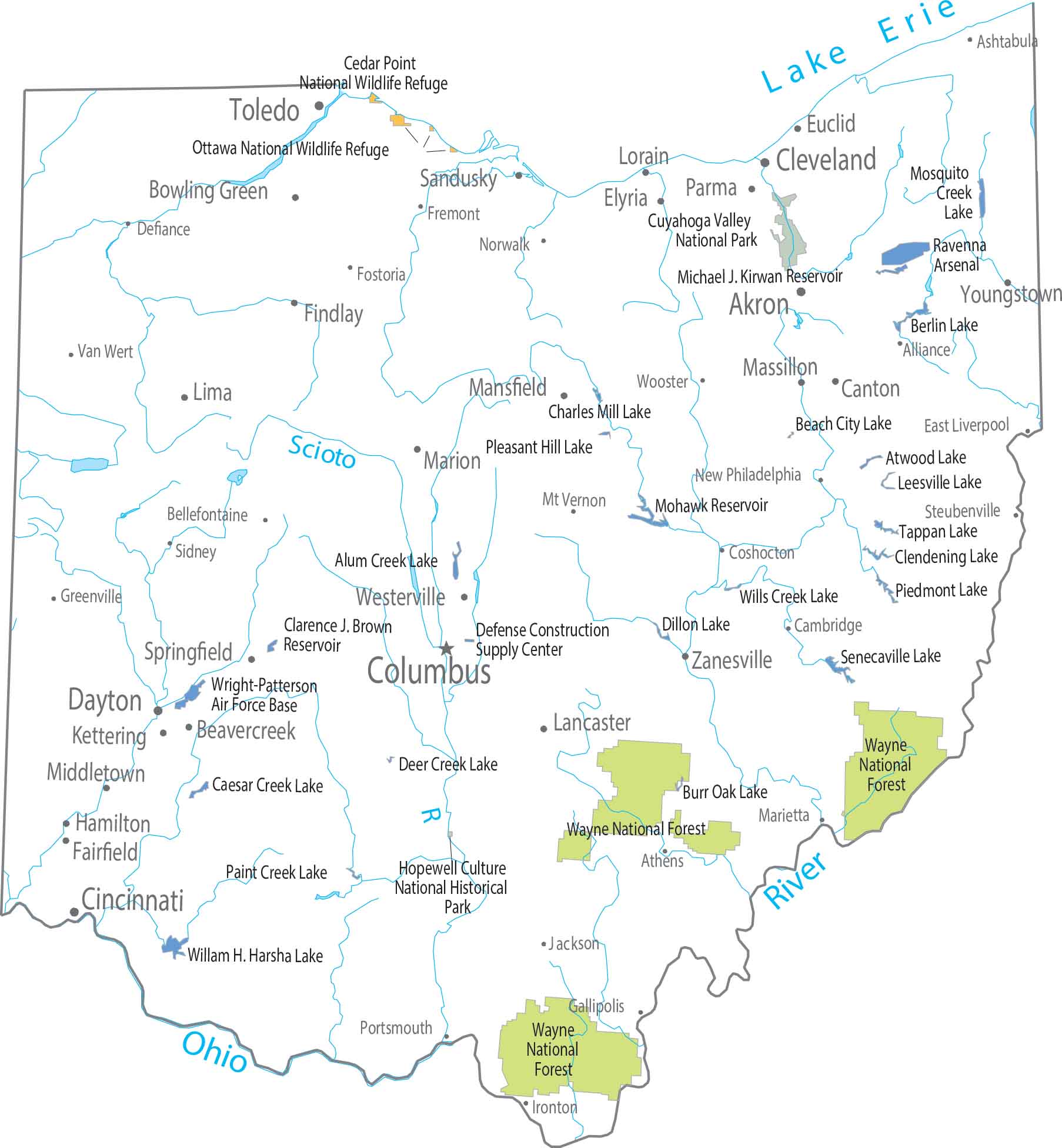
Wayne National Forest is real, and it matters. It covers rugged, forested terrain in the southeast, far from the flat stereotype. There’s no national park, but federal forest land absolutely exists. See it on our map.
Map Information
On the Map
Parks, Forests and Federal Lands
National Parks (NP): Cuyahoga Valley NP, Hopewell Culture National Historical Park National Forests (NF): Wayne National Forest National Wildlife Refuges (NWR): Cedar Point NWR, Ottawa NWR Army, Naval and Military: Defense Construction Supply Center, Ravenna Arsenal, Wright-Patterson Air Force BaseLand Information
State Capital: Columbus Major Cities: Akron, Cincinnati, Cleveland, Dayton, Toledo Cities and Towns: Alliance, Ashtabula, Athens, Bowling Green, Canton, Chillicothe, Coshocton, Defiance, East Liverpool, Elyria, Findley, Fostoria, Fremont, Gallipolis, Greenville, Ironton, Jackson, Kettering, Lancaster, Lima, Lorain, Mansfield, Marietta, Marion, Massillon, Middletown, Mt. Vernon, Norwalk, Parma, Portsmouth, Sidney, Springfield, Steubenville, Van Wert, Warren, Westerville, Wooster, Youngstown, Zanesville Lakes and Reservoirs: Alum Creek Lake, Atwood Lake, Beach City Lake, Berlin Lake, Burr Oak Lake, Caesar Creek Lake, Charles Mill Lake, Clarence J. Brown Reservoir, Clendening Lake, Deer Creek Lake, Dillon Lake, Lake Erie, Leesville Lake, Michael J. Kirwan Reservoir, Mohawk Reservoir, Mosquito Creek Lake, Paint Creek Lake, Piedmont Lake, Pleasant Hill Lake, Senecaville Lake, Tappan Lake, Willam H. Harsha Lake, Wills Creek Lake Rivers and Streams: Ohio River, Scioto RiverOhio State Maps
Check out our maps covering farmland or any of Ohio’s major cities.


