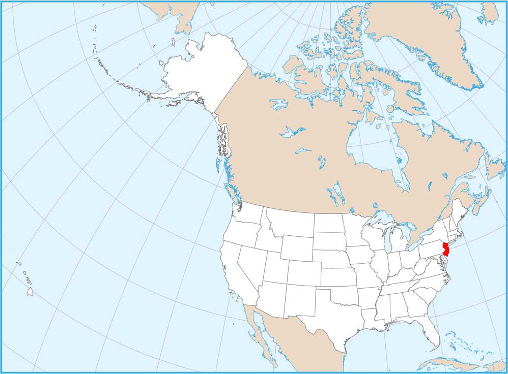
New Jersey Counties and Cities Map
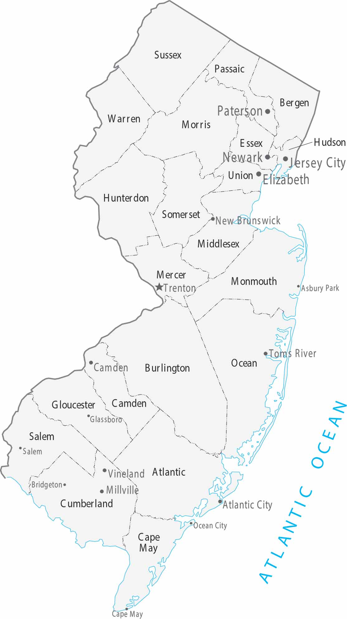
As the most densely populated state, our map of New Jersey organizes 21 counties between the urban centers of New York City and Philadelphia. Trenton is the capital, located at the heart of the state’s busy transit corridor.
Map Information
On the Map
|
Name |
Population 2024 |
Total Area (sq mi) |
FIPS Code |
|
Atlantic County |
279,114 |
671.8 |
34-001 |
|
Bergen County |
978,641 |
246.4 |
34-003 |
|
Burlington County |
475,515 |
820.2 |
34-005 |
|
Camden County |
533,988 |
227.4 |
34-007 |
|
Cape May County |
93,875 |
620.3 |
34-009 |
|
Cumberland County |
155,678 |
677.8 |
34-011 |
|
Essex County |
881,527 |
129.4 |
34-013 |
|
Gloucester County |
311,783 |
336.8 |
34-015 |
|
Hudson County |
736,185 |
62.4 |
34-017 |
|
Hunterdon County |
131,708 |
437.4 |
34-019 |
|
Mercer County |
392,138 |
228.9 |
34-021 |
|
Middlesex County |
890,119 |
322.9 |
34-023 |
|
Monmouth County |
647,520 |
665.5 |
34-025 |
|
Morris County |
523,053 |
481.5 |
34-027 |
|
Ocean County |
666,434 |
914.8 |
34-029 |
|
Passaic County |
526,597 |
198.4 |
34-031 |
|
Salem County |
65,874 |
372.5 |
34-033 |
|
Somerset County |
357,467 |
305 |
34-035 |
|
Sussex County |
147,444 |
535.4 |
34-037 |
|
Union County |
594,160 |
105.5 |
34-039 |
|
Warren County |
112,031 |
362.6 |
34-041 |
Counties and Cities Maps
Select any state map below to view its counties and cities map.


New Jersey State Maps
Explore maps from the Garden State.


