New Hampshire Outline Map
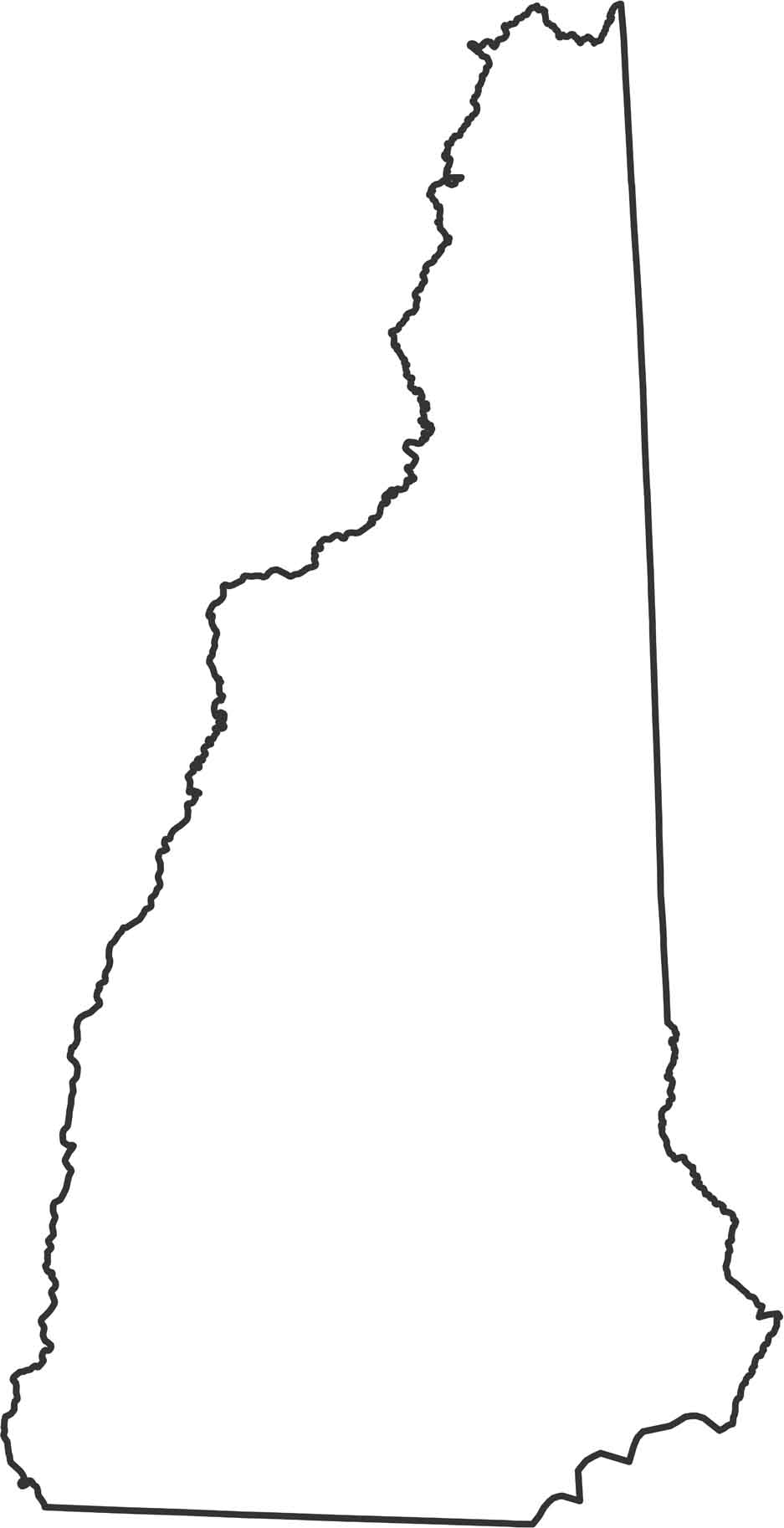
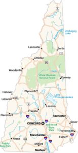
New Hampshire has a narrow shape with a small Atlantic coast and a jagged western edge. Our outline map highlights the Connecticut River along the western border. It borders Canada, Maine, Vermont and Massachusetts.
Map Information
State Outline Maps
Click on a map below to check out outline maps of each state.


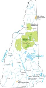
New Hampshire State Maps
Select one of our maps of the Granite State.