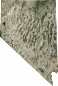
Nevada Precipitation Map

Nevada sits in the rain shadow of California’s Sierra Nevada mountains, making it the driest state in the country. Only the higher mountain ranges scattered across the state catch decent precipitation. Our precipitation map of Nevada shows that the only “wet” spots are the very tops of the high mountains.
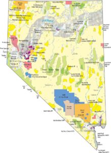
Map Information
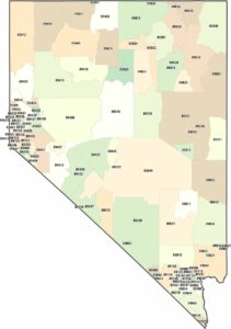
State Precipitation Maps
Select any state map below to view its precipitation map.


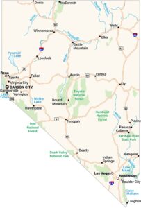
Nevada State Maps
Click on one of our maps of the Silver State.