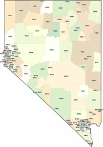
Nevada Population Map
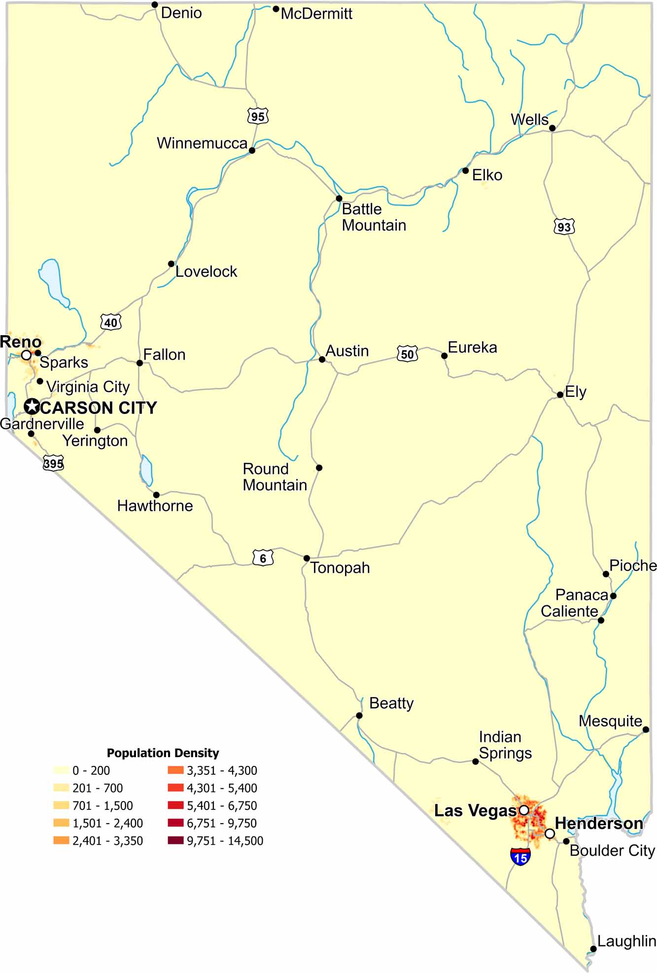
Most residents in Nevada live in just a few areas. Las Vegas stands out sharply on the map in the southeast corner. But also Reno and Sparks shows a bit of population density too. Our population density map shows mostly vast empty desert beyond these mentioned cities.
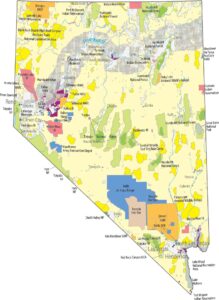
Map Information
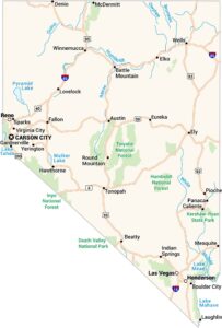
On the Map
Nevada State Maps
Click on one of our maps of the Silver State.


State Population Maps
Select any state map below to view its population density map.


